Water Level Analysis
The storage situation at Woronora remains highly stable. With a current fill rate of 94.6%, the reservoir contains 72 GL. The local water grid benefits significantly from this stable storage level.
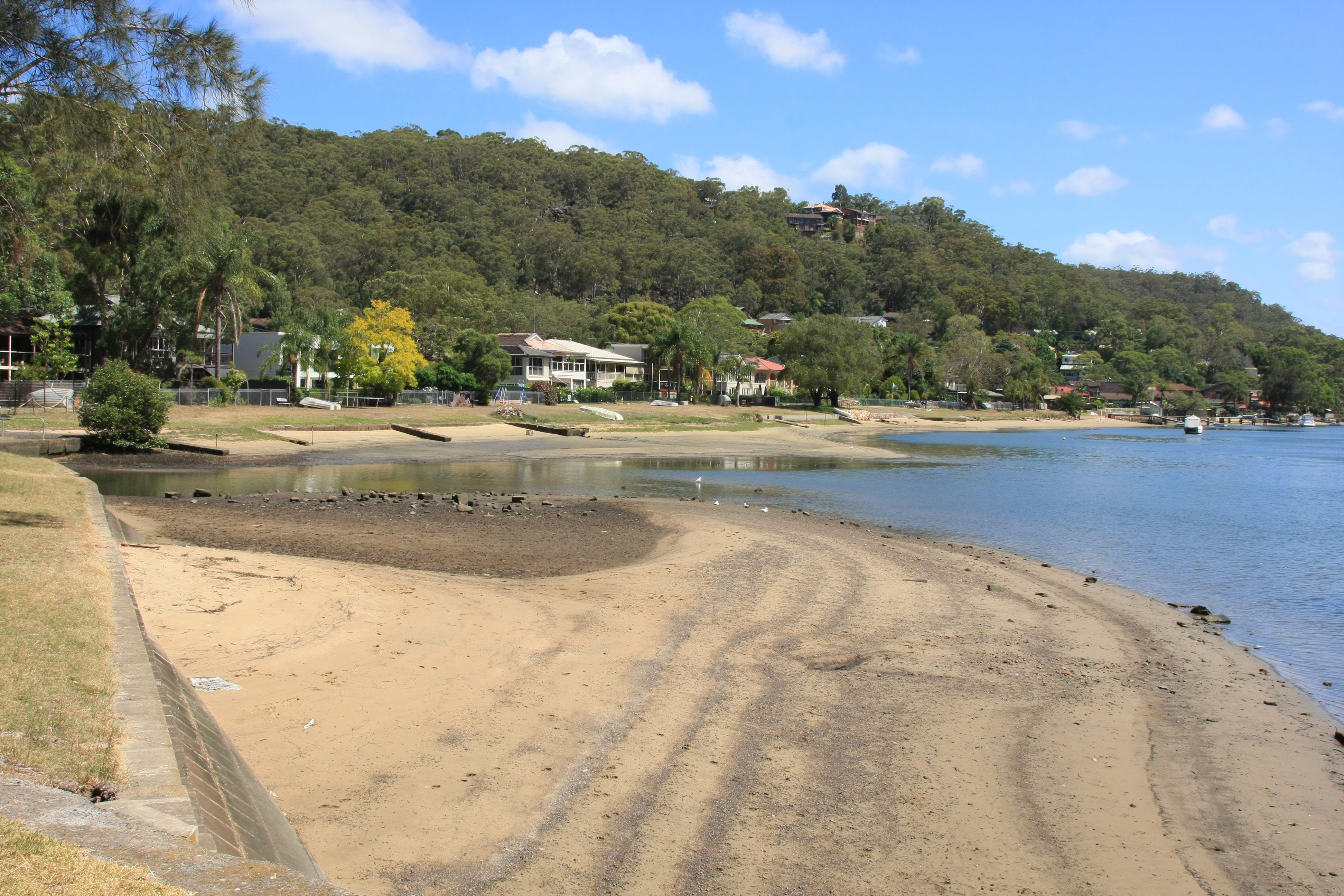
Catchment & Hydrological Impact
Fed primarily by the Woronora River, this reservoir plays a critical role in the South East Coast (NSW) drainage division. Hydrological health in this specific drainage basin is vital for downstream ecosystems. The South East Coast (NSW) region relies heavily on the seasonal inflows captured here.
Agricultural & Economic Significance
Beyond standard municipal supply, Woronora is a vital asset for the regional agricultural economy in New South Wales. The local economy, heavily rooted in agriculture, fluctuates in tandem with the health of this reservoir. Sustainable water management here ensures that both crops and livestock can survive prolonged dry spells.
Ecological & Recreational Context
The surrounding catchment of Woronora also supports diverse local flora and fauna. When capacity allows, Woronora becomes a hub for regional tourism and water sports. However, environmental flow releases must be carefully balanced to protect downstream river health.
Current Weather & Evaporation Impact
Current local temperatures are sitting at a moderate 16°C. With 0mm of recent rainfall and partly cloudy skies, the catchment is relatively dry today.
Future Outlook & Monitoring
The Bureau of Meteorology's climate outlooks will play a pivotal role in predicting the future inflows for this catchment. Continuous telemetry and advanced hydrological modeling are employed to forecast storage changes. Resilience against extreme weather events remains the ultimate goal for the managers of this critical infrastructure.