Real-Time Dam Levels
Across Australia

Track water storage, capacity and historical trends for major reservoirs in New South Wales, Victoria, Queensland and beyond.

57.7% National average
303 Dams tracked
87,729 GL Total capacity
04 Jun 2026 Last Updated
Copeton Water Level

Copeton Water Level

New South Wales · Gwydir
Reviewed by Water Resources Analyst
Hydrological Summary: Copeton currently stores 61.1% of its total 1,361 GL capacity. Located in NSW and operated by WaterNSW, it is a critical water source for regional supply and irrigation.
Data officially sourced and updated from New South Wales water authorities. Last dataset update: 2026-06-02 00:00:00
Current Storage Level 61.1%
Total Capacity
1,361 GL
Status
Normal / Safe
Operator
WaterNSW
Last Updated
02 Jun 2026
Live Weather
12°C Partly cloudy
Rain: 0mm | Hum: 67%

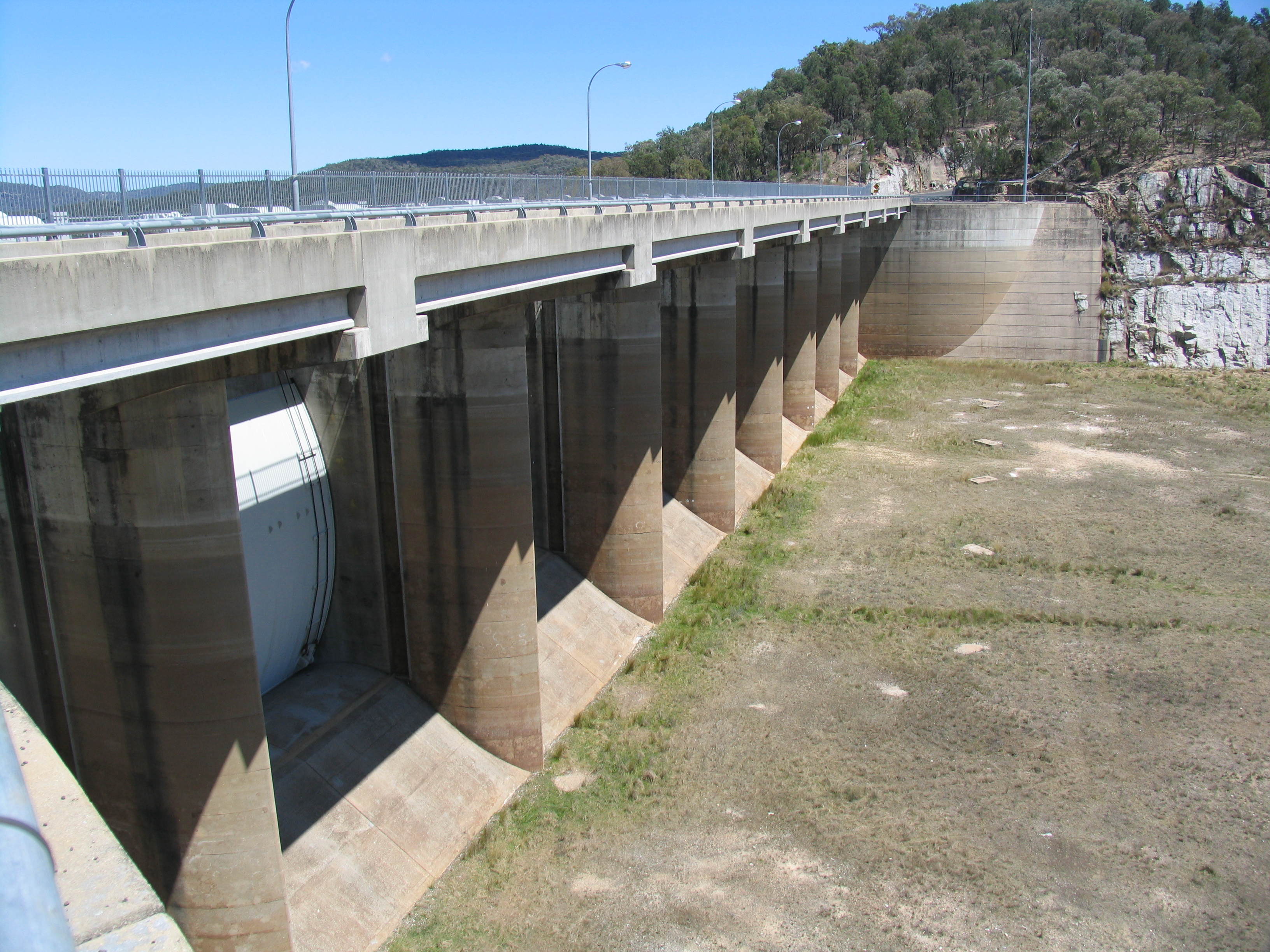
Water Level Analysis

Storage levels at Copeton are within moderate seasonal bounds. Sitting at 61.1%, the total stored volume is 1,361 GL. While adequate, continuous monitoring is standard procedure for this catchment.

Agricultural & Economic Significance

Beyond standard municipal supply, Copeton is a vital asset for the regional agricultural economy in New South Wales. Farmers and agribusinesses monitor these levels closely to plan their seasonal crop yields. Sustainable water management here ensures that both crops and livestock can survive prolonged dry spells.

Ecological & Recreational Context

The surrounding catchment of Copeton also supports diverse local flora and fauna. During periods of healthy water levels, the area often sees an increase in recreational activities such as fishing, boating, and camping. However, environmental flow releases must be carefully balanced to protect downstream river health.

Current Weather & Evaporation Impact

With a mild reading of 12°C today, surface evaporation is significantly reduced, helping to preserve current volume. With 0mm of recent rainfall and partly cloudy skies, the catchment is relatively dry today.

Future Outlook & Monitoring

The Bureau of Meteorology's climate outlooks will play a pivotal role in predicting the future inflows for this catchment. Continuous telemetry and advanced hydrological modeling are employed to forecast storage changes. Given the unpredictable nature of Australia's climate, from La Niña flooding to El Niño droughts, maintaining a dynamic operational strategy for Copeton is absolutely essential.

Location Map

Frequently Asked Questions

What is the current water level of Copeton?
As of the latest official reading, the water level at Copeton is at 61.1% of its total capacity.
Is Copeton currently full?
It is partially full, currently holding steady at 61.1%.
What is the maximum water capacity of Copeton?
When completely full (100%), Copeton can hold up to 1,361 Gigalitres (GL) of water.
Where is Copeton located?
This reservoir is a critical water storage facility located in the state of New South Wales, Australia.
How does the water level at Copeton affect local agriculture?
Water levels dictate the irrigation allocations for surrounding farmlands. A healthy level of 61.1% ensures that local farmers have the necessary water security for their seasonal crops and livestock.
Who manages the data for Copeton?
The data is sourced from official government authorities including the Bureau of Meteorology (BOM) and specific state water utilities.

Nearby Dams in New South Wales

Largest Reservoirs in New South Wales

Latest Water & Drought News

← Back to all dams