Real-Time Dam Levels
Across Australia

Track water storage, capacity and historical trends for major reservoirs in New South Wales, Victoria, Queensland and beyond.

57.7% National average
303 Dams tracked
87,729 GL Total capacity
04 Jun 2026 Last Updated
Upper Cascade Water Level

Upper Cascade Water Level

New South Wales · Sydney
Reviewed by Water Resources Analyst
Hydrological Summary: Upper Cascade currently stores 88.2% of its total 2 GL capacity. Located in NSW and operated by WaterNSW, it is a critical water source for regional supply and irrigation.
Data officially sourced and updated from New South Wales water authorities. Last dataset update: 2026-06-02 22:30:00
Current Storage Level 88.2%
Total Capacity
2 GL
Status
Normal / Safe
Operator
WaterNSW
Last Updated
02 Jun 2026
Live Weather
8°C Partly cloudy
Rain: 0mm | Hum: 69%

Water Level Analysis

Upper Cascade is currently maintaining very healthy storage levels. With a current fill rate of 88.2%, the reservoir contains 2 GL. This volume provides a solid foundation for both urban and agricultural demands across New South Wales.

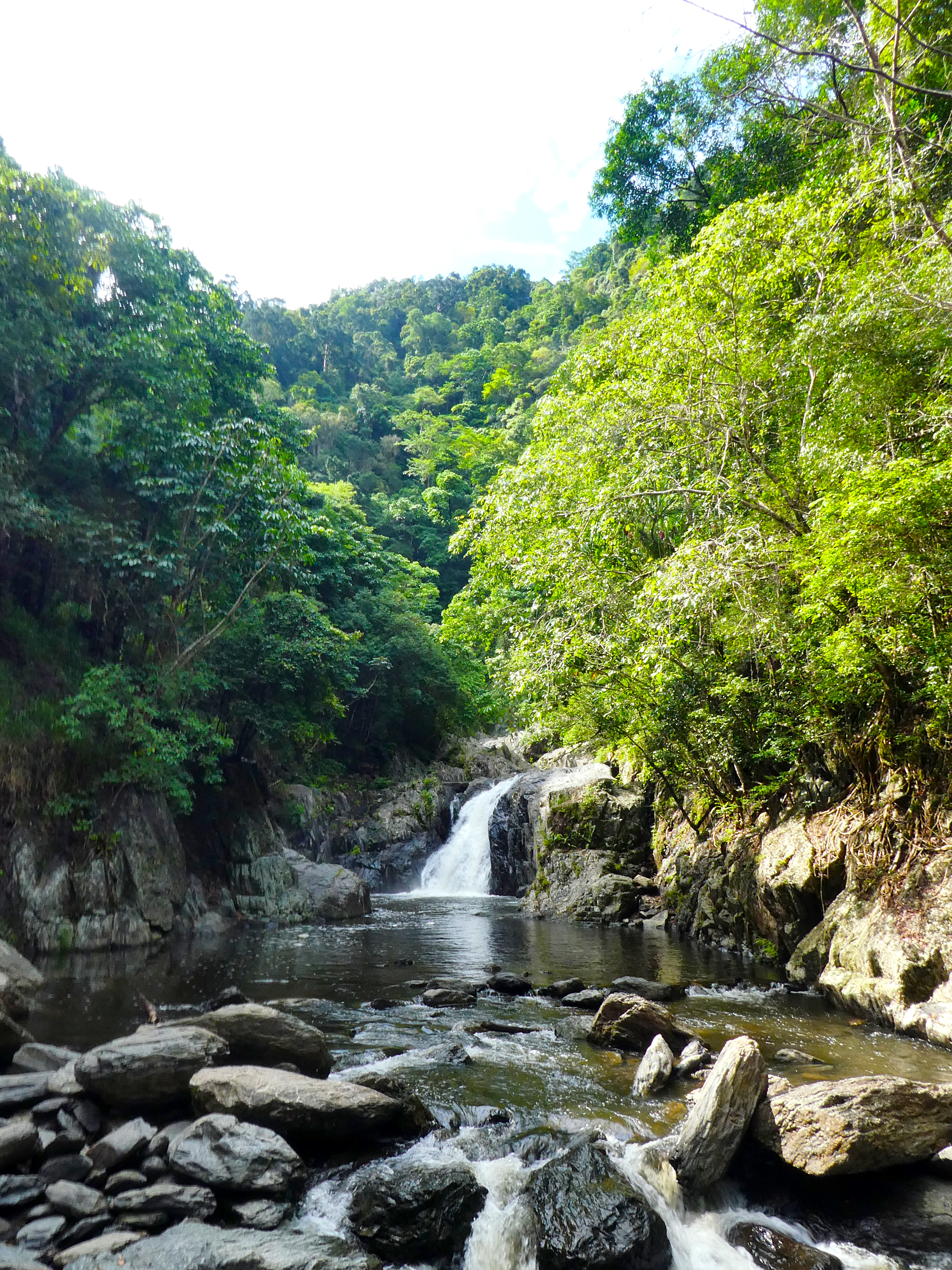
Catchment & Hydrological Impact

Fed primarily by the Cascade Creek, this reservoir plays a critical role in the South East Coast (NSW) drainage division. Managing the flow from the Cascade Creek ensures that downstream agricultural zones receive consistent supply. The South East Coast (NSW) region relies heavily on the seasonal inflows captured here.

Agricultural & Economic Significance

Beyond standard municipal supply, Upper Cascade is a vital asset for the regional agricultural economy in New South Wales. Farmers and agribusinesses monitor these levels closely to plan their seasonal crop yields. Without the buffer provided by this massive 2 GL storage, regional farming would face extreme volatility.

Ecological & Recreational Context

The surrounding catchment of Upper Cascade also supports diverse local flora and fauna. When capacity allows, Upper Cascade becomes a hub for regional tourism and water sports. However, environmental flow releases must be carefully balanced to protect downstream river health.

Current Weather & Evaporation Impact

With a mild reading of 8°C today, surface evaporation is significantly reduced, helping to preserve current volume. With 0mm of recent rainfall and partly cloudy skies, the catchment is relatively dry today.

Future Outlook & Monitoring

The Bureau of Meteorology's climate outlooks will play a pivotal role in predicting the future inflows for this catchment. State water authorities utilize highly sophisticated monitoring tools to ensure every drop is accounted for. Given the unpredictable nature of Australia's climate, from La Niña flooding to El Niño droughts, maintaining a dynamic operational strategy for Upper Cascade is absolutely essential.

Location Map

Frequently Asked Questions

What is the current water level of Upper Cascade?
As of the latest official reading, the water level at Upper Cascade is at 88.2% of its total capacity.
Is Upper Cascade currently full?
It is partially full, currently holding steady at 88.2%.
What is the maximum water capacity of Upper Cascade?
When completely full (100%), Upper Cascade can hold up to 2 Gigalitres (GL) of water.
Where is Upper Cascade located?
This reservoir is a critical water storage facility located in the state of New South Wales, Australia.
How does the water level at Upper Cascade affect local agriculture?
Water levels dictate the irrigation allocations for surrounding farmlands. A healthy level of 88.2% ensures that local farmers have the necessary water security for their seasonal crops and livestock.
Who manages the data for Upper Cascade?
The data is sourced from official government authorities including the Bureau of Meteorology (BOM) and specific state water utilities.

Nearby Dams in New South Wales

Largest Reservoirs in New South Wales

Latest Water & Drought News

← Back to all dams