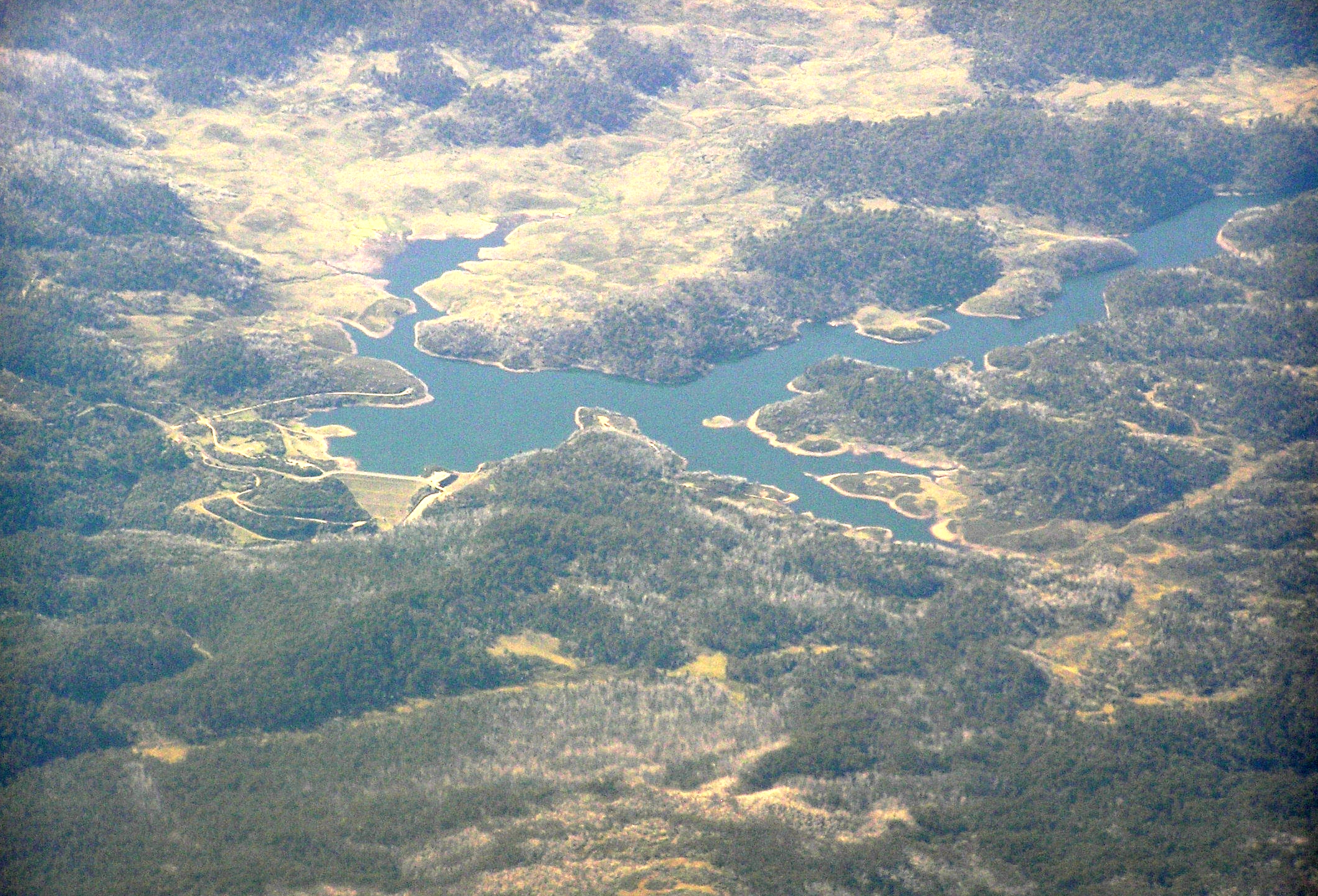
Water Level Analysis
The current volume at Tooma Reservoir is running lower than standard operational thresholds. With the reservoir sitting at just 23.6%, the total available volume is 28 GL. This lower-than-average capacity may trigger preliminary water-saving advisories in New South Wales if dry conditions persist.
Catchment & Hydrological Impact
Fed primarily by the Tooma River, this reservoir plays a critical role in the Murray-Darling Basin drainage division. Hydrological health in this specific drainage basin is vital for downstream ecosystems. Catchment dynamics in the Murray-Darling Basin are deeply influenced by the retention capacity of Tooma Reservoir.
Agricultural & Economic Significance
Beyond standard municipal supply, Tooma Reservoir is a vital asset for the regional agricultural economy in New South Wales. Irrigation allocations are directly tied to these storage metrics. Sustainable water management here ensures that both crops and livestock can survive prolonged dry spells.
Ecological & Recreational Context
The surrounding catchment of Tooma Reservoir also supports diverse local flora and fauna. During periods of healthy water levels, the area often sees an increase in recreational activities such as fishing, boating, and camping. However, environmental flow releases must be carefully balanced to protect downstream river health.
Current Weather & Evaporation Impact
With a mild reading of 13°C today, surface evaporation is significantly reduced, helping to preserve current volume. With 0mm of recent rainfall and clear sky skies, the catchment is relatively dry today.
Future Outlook & Monitoring
The Bureau of Meteorology's climate outlooks will play a pivotal role in predicting the future inflows for this catchment. Continuous telemetry and advanced hydrological modeling are employed to forecast storage changes. Resilience against extreme weather events remains the ultimate goal for the managers of this critical infrastructure.