Real-Time Dam Levels
Across Australia

Track water storage, capacity and historical trends for major reservoirs in New South Wales, Victoria, Queensland and beyond.

57.7% National average
303 Dams tracked
87,729 GL Total capacity
04 Jun 2026 Last Updated
Tinaroo Falls Water Level

Tinaroo Falls Water Level

Queensland · Mareeba Dimbulah
Reviewed by Water Resources Analyst
Hydrological Summary: Tinaroo Falls currently stores 100% of its total 439 GL capacity. Located in QLD and operated by SunWater, it is a critical water source for regional supply and irrigation.
Data officially sourced and updated from Queensland water authorities. Last dataset update: 2026-05-01 00:00:00
Current Storage Level 100%
Total Capacity
439 GL
Status
Normal / Safe
Operator
SunWater
Last Updated
01 May 2026
Live Weather
23°C Clear sky
Rain: 0mm | Hum: 59%

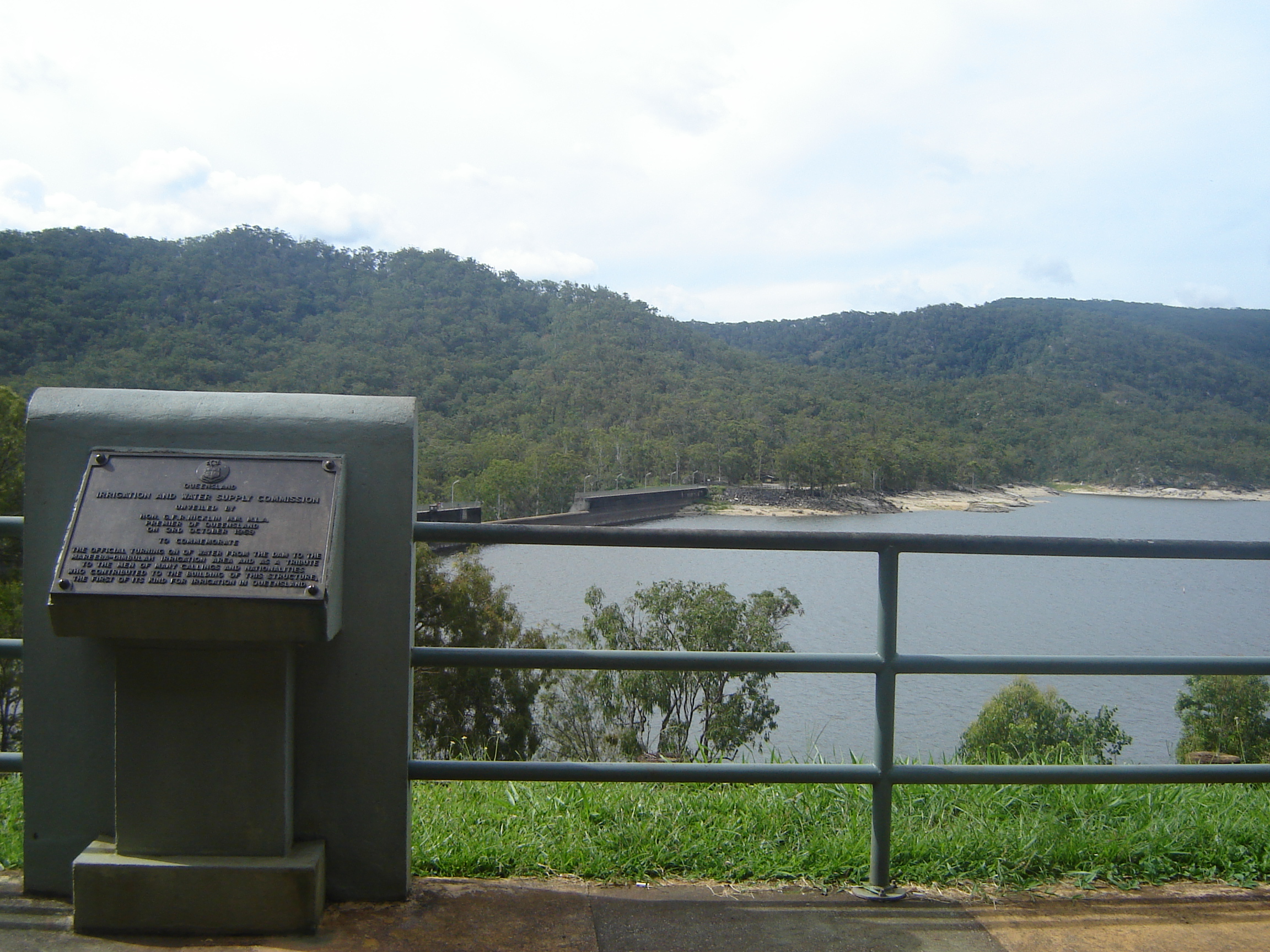
Water Level Analysis

Tinaroo Falls is currently operating near maximum storage limits. With current readings at 100%, the reservoir holds a robust 439 GL. This provides immense water security for the Queensland region.

Agricultural & Economic Significance

Beyond standard municipal supply, Tinaroo Falls is a vital asset for the regional agricultural economy in Queensland. Farmers and agribusinesses monitor these levels closely to plan their seasonal crop yields. Without the buffer provided by this massive 439 GL storage, regional farming would face extreme volatility.

Ecological & Recreational Context

The surrounding catchment of Tinaroo Falls also supports diverse local flora and fauna. During periods of healthy water levels, the area often sees an increase in recreational activities such as fishing, boating, and camping. However, environmental flow releases must be carefully balanced to protect downstream river health.

Current Weather & Evaporation Impact

The weather around the catchment is currently recording 23°C. Under current clear sky weather, there is no direct rainfall contributing to the immediate storage levels.

Future Outlook & Monitoring

Looking ahead, the trajectory of Tinaroo Falls's water levels will depend heavily on upcoming seasonal rainfall patterns. State water authorities utilize highly sophisticated monitoring tools to ensure every drop is accounted for. Resilience against extreme weather events remains the ultimate goal for the managers of this critical infrastructure.

Location Map

Frequently Asked Questions

What is the current water level of Tinaroo Falls?
As of the latest official reading, the water level at Tinaroo Falls is at 100% of its total capacity.
Is Tinaroo Falls currently full?
Yes, Tinaroo Falls is virtually full at 100%.
What is the maximum water capacity of Tinaroo Falls?
When completely full (100%), Tinaroo Falls can hold up to 439 Gigalitres (GL) of water.
Where is Tinaroo Falls located?
This reservoir is a critical water storage facility located in the state of Queensland, Australia.
How does the water level at Tinaroo Falls affect local agriculture?
Water levels dictate the irrigation allocations for surrounding farmlands. A healthy level of 100% ensures that local farmers have the necessary water security for their seasonal crops and livestock.
Who manages the data for Tinaroo Falls?
The data is sourced from official government authorities including the Bureau of Meteorology (BOM) and specific state water utilities.

Nearby Dams in Queensland

Largest Reservoirs in Queensland

Latest Water & Drought News

← Back to all dams