Water Level Analysis
The storage situation at Wivenhoe remains highly stable. At 85.7% capacity, the facility is holding 1,165 GL of water. The local water grid benefits significantly from this stable storage level.
Catchment & Hydrological Impact
The Brisbane River acts as the primary lifeblood for Wivenhoe, making it a cornerstone of the North East Coast network. Hydrological health in this specific drainage basin is vital for downstream ecosystems. The North East Coast region relies heavily on the seasonal inflows captured here.
Agricultural & Economic Significance
Beyond standard municipal supply, Wivenhoe is a vital asset for the regional agricultural economy in Queensland. The local economy, heavily rooted in agriculture, fluctuates in tandem with the health of this reservoir. Without the buffer provided by this massive 1,165 GL storage, regional farming would face extreme volatility.
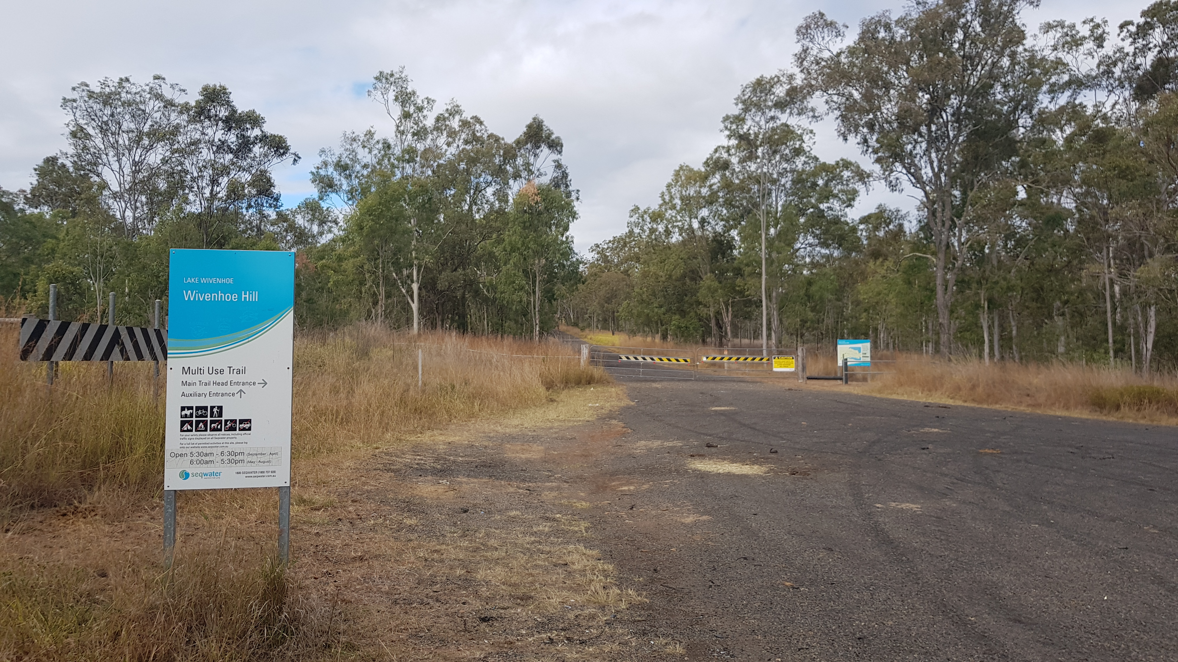
Ecological & Recreational Context
The surrounding catchment of Wivenhoe also supports diverse local flora and fauna. During periods of healthy water levels, the area often sees an increase in recreational activities such as fishing, boating, and camping. Authorities must constantly balance the need for human water consumption with the ecological necessity of maintaining healthy river systems downstream.
Current Weather & Evaporation Impact
Current local temperatures are sitting at a moderate 19°C. Currently experiencing partly cloudy conditions with no immediate precipitation, inflows remain entirely dependent on upstream river movement.
Future Outlook & Monitoring
Looking ahead, the trajectory of Wivenhoe's water levels will depend heavily on upcoming seasonal rainfall patterns. State water authorities utilize highly sophisticated monitoring tools to ensure every drop is accounted for. Resilience against extreme weather events remains the ultimate goal for the managers of this critical infrastructure.