Water Level Analysis
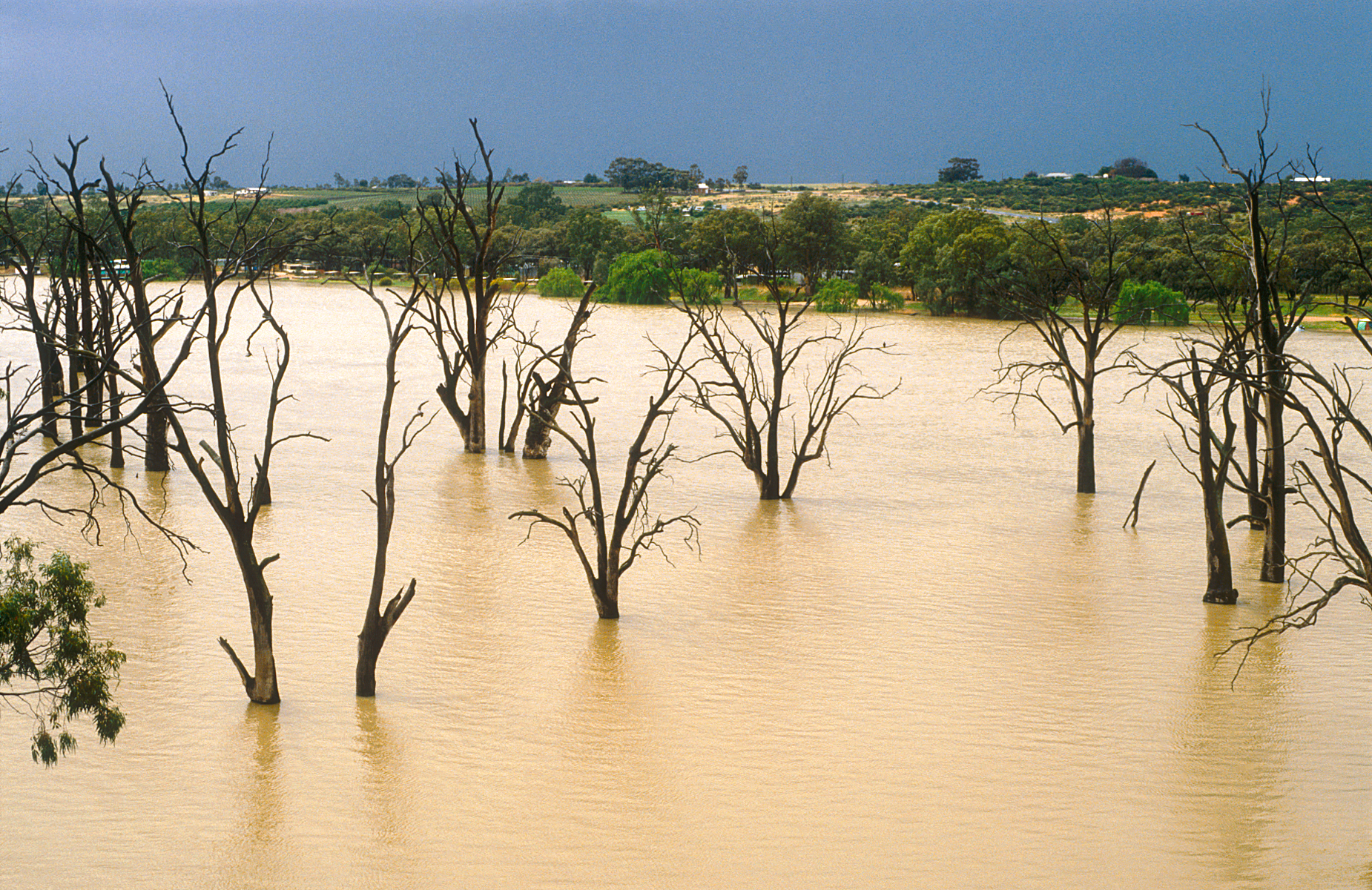
Storage levels at Lock 1 - Blanchetown are within moderate seasonal bounds. The current reading shows the reservoir at 50.2%, translating to 57 GL. This represents a typical midpoint for the region's hydrological cycle.
Catchment & Hydrological Impact
Fed primarily by the River Murray, this reservoir plays a critical role in the Murray-Darling Basin drainage division. Managing the flow from the River Murray ensures that downstream agricultural zones receive consistent supply. The Murray-Darling Basin region relies heavily on the seasonal inflows captured here.
Agricultural & Economic Significance
Agriculture in the surrounding areas of South Australia depends heavily on the water security provided by Lock 1 - Blanchetown. Farmers and agribusinesses monitor these levels closely to plan their seasonal crop yields. Without the buffer provided by this massive 57 GL storage, regional farming would face extreme volatility.
Ecological & Recreational Context
The surrounding catchment of Lock 1 - Blanchetown also supports diverse local flora and fauna. During periods of healthy water levels, the area often sees an increase in recreational activities such as fishing, boating, and camping. Authorities must constantly balance the need for human water consumption with the ecological necessity of maintaining healthy river systems downstream.
Current Weather & Evaporation Impact
With a mild reading of 13°C today, surface evaporation is significantly reduced, helping to preserve current volume. Currently experiencing partly cloudy conditions with no immediate precipitation, inflows remain entirely dependent on upstream river movement.
Future Outlook & Monitoring
The Bureau of Meteorology's climate outlooks will play a pivotal role in predicting the future inflows for this catchment. Continuous telemetry and advanced hydrological modeling are employed to forecast storage changes. Given the unpredictable nature of Australia's climate, from La Niña flooding to El Niño droughts, maintaining a dynamic operational strategy for Lock 1 - Blanchetown is absolutely essential.