Water Level Analysis
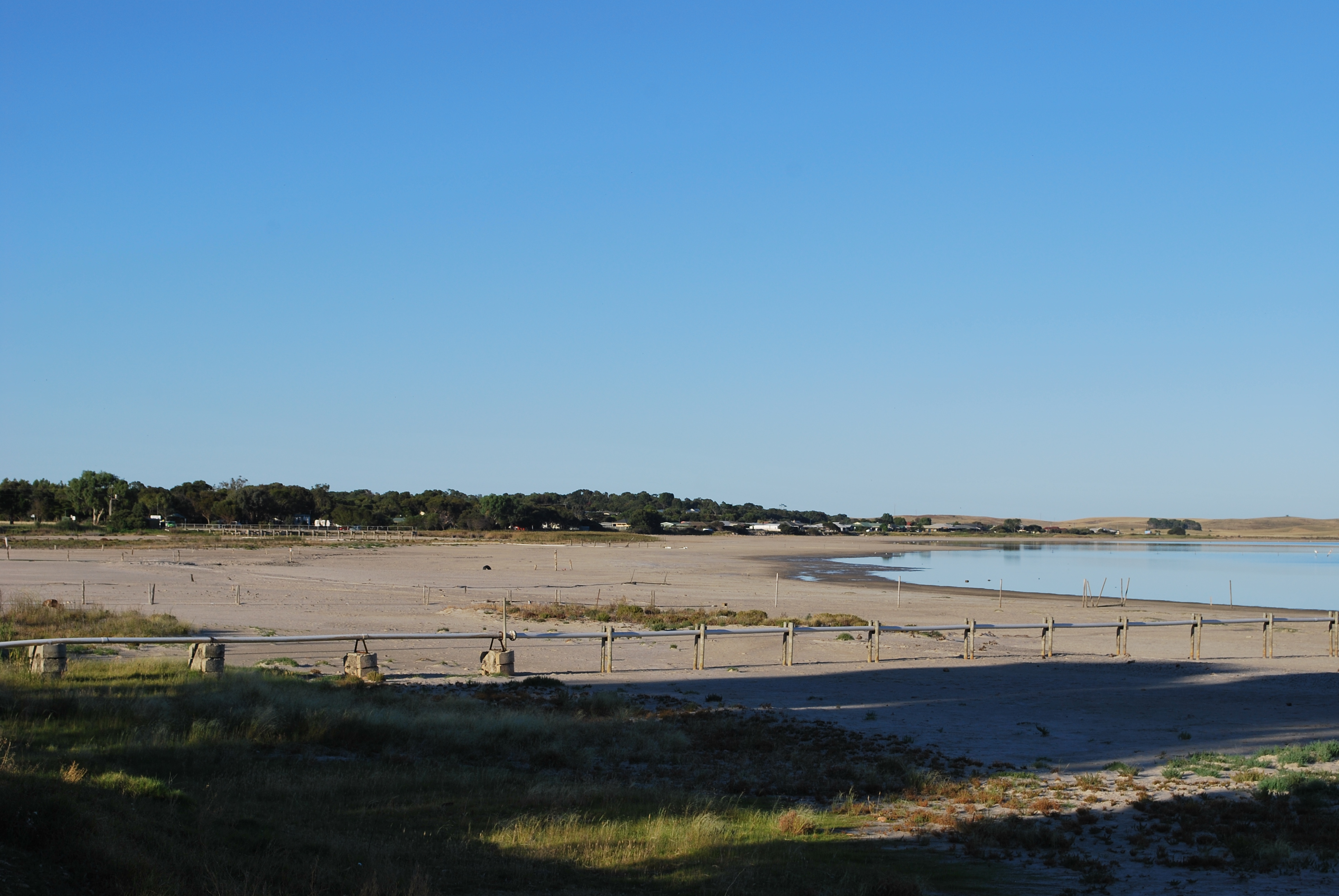
Water levels at Lake Albert remain exceptionally high. With current readings at 100%, the reservoir holds a robust 280 GL. This provides immense water security for the South Australia region.
Catchment & Hydrological Impact
The River Murray acts as the primary lifeblood for Lake Albert, making it a cornerstone of the Murray-Darling Basin network. Hydrological health in this specific drainage basin is vital for downstream ecosystems. The Murray-Darling Basin region relies heavily on the seasonal inflows captured here.
Agricultural & Economic Significance
Agriculture in the surrounding areas of South Australia depends heavily on the water security provided by Lake Albert. Irrigation allocations are directly tied to these storage metrics. Without the buffer provided by this massive 280 GL storage, regional farming would face extreme volatility.
Ecological & Recreational Context
Ecologically, the reservoir and its immediate wetlands serve as a crucial habitat for native Australian wildlife. During periods of healthy water levels, the area often sees an increase in recreational activities such as fishing, boating, and camping. However, environmental flow releases must be carefully balanced to protect downstream river health.
Current Weather & Evaporation Impact
With a mild reading of 13°C today, surface evaporation is significantly reduced, helping to preserve current volume. Under current partly cloudy weather, there is no direct rainfall contributing to the immediate storage levels.
Future Outlook & Monitoring
The Bureau of Meteorology's climate outlooks will play a pivotal role in predicting the future inflows for this catchment. Continuous telemetry and advanced hydrological modeling are employed to forecast storage changes. Given the unpredictable nature of Australia's climate, from La Niña flooding to El Niño droughts, maintaining a dynamic operational strategy for Lake Albert is absolutely essential.