Real-Time Dam Levels
Across Australia

Track water storage, capacity and historical trends for major reservoirs in New South Wales, Victoria, Queensland and beyond.

57.7% National average
303 Dams tracked
87,729 GL Total capacity
04 Jun 2026 Last Updated
Leslie Harrison Water Level

Leslie Harrison Water Level

Queensland · Brisbane
Reviewed by Water Resources Analyst
Hydrological Summary: Leslie Harrison currently stores 100% of its total 13 GL capacity. Located in QLD and operated by Seqwater, it is a critical water source for regional supply and irrigation.
Data officially sourced and updated from Queensland water authorities. Last dataset update: 2026-06-02 09:00:00
Current Storage Level 100%
Total Capacity
13 GL
Status
Normal / Safe
Operator
Seqwater
Last Updated
02 Jun 2026
Live Weather
19°C Clear sky
Rain: 0mm | Hum: 50%

Water Level Analysis

Reservoir storage at Leslie Harrison is near full capacity. With current readings at 100%, the reservoir holds a robust 13 GL. This near-full status guarantees strong water availability for local communities and agriculture.

Catchment & Hydrological Impact

Fed primarily by the Tingalpa Creek, this reservoir plays a critical role in the North East Coast drainage division. Hydrological health in this specific drainage basin is vital for downstream ecosystems. The North East Coast region relies heavily on the seasonal inflows captured here.

Agricultural & Economic Significance

Agriculture in the surrounding areas of Queensland depends heavily on the water security provided by Leslie Harrison. The local economy, heavily rooted in agriculture, fluctuates in tandem with the health of this reservoir. Without the buffer provided by this massive 13 GL storage, regional farming would face extreme volatility.

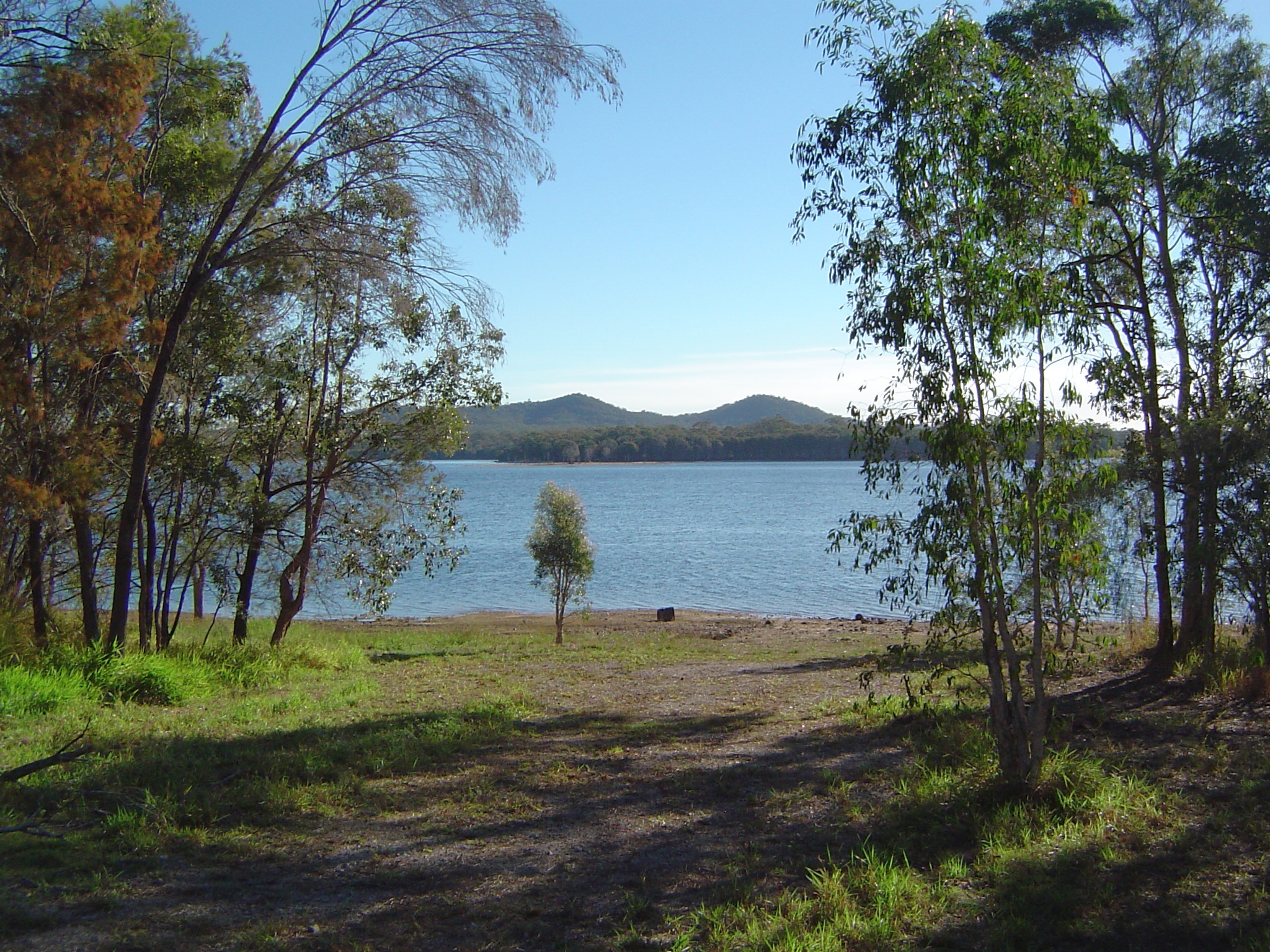
Ecological & Recreational Context

The surrounding catchment of Leslie Harrison also supports diverse local flora and fauna. When capacity allows, Leslie Harrison becomes a hub for regional tourism and water sports. However, environmental flow releases must be carefully balanced to protect downstream river health.

Current Weather & Evaporation Impact

Current local temperatures are sitting at a moderate 19°C. Currently experiencing clear sky conditions with no immediate precipitation, inflows remain entirely dependent on upstream river movement.

Future Outlook & Monitoring

Looking ahead, the trajectory of Leslie Harrison's water levels will depend heavily on upcoming seasonal rainfall patterns. Continuous telemetry and advanced hydrological modeling are employed to forecast storage changes. Given the unpredictable nature of Australia's climate, from La Niña flooding to El Niño droughts, maintaining a dynamic operational strategy for Leslie Harrison is absolutely essential.

Location Map

Frequently Asked Questions

What is the current water level of Leslie Harrison?
As of the latest official reading, the water level at Leslie Harrison is at 100% of its total capacity.
Is Leslie Harrison currently full?
Yes, Leslie Harrison is virtually full at 100%.
What is the maximum water capacity of Leslie Harrison?
When completely full (100%), Leslie Harrison can hold up to 13 Gigalitres (GL) of water.
Where is Leslie Harrison located?
This reservoir is a critical water storage facility located in the state of Queensland, Australia.
How does the water level at Leslie Harrison affect local agriculture?
Water levels dictate the irrigation allocations for surrounding farmlands. A healthy level of 100% ensures that local farmers have the necessary water security for their seasonal crops and livestock.
Who manages the data for Leslie Harrison?
The data is sourced from official government authorities including the Bureau of Meteorology (BOM) and specific state water utilities.

Nearby Dams in Queensland

Largest Reservoirs in Queensland

Latest Water & Drought News

← Back to all dams