Real-Time Dam Levels
Across Australia

Track water storage, capacity and historical trends for major reservoirs in New South Wales, Victoria, Queensland and beyond.

57.7% National average
303 Dams tracked
87,729 GL Total capacity
04 Jun 2026 Last Updated
Lake Ross Water Level

Lake Ross Water Level

Queensland · Unknown
Reviewed by Water Resources Analyst
Hydrological Summary: Lake Ross currently stores 85.6% of its total 233 GL capacity. Located in QLD and operated by Townsville City Council, it is a critical water source for regional supply and irrigation.
Data officially sourced and updated from Queensland water authorities. Last dataset update: 2026-06-01 00:00:00
Current Storage Level 85.6%
Total Capacity
233 GL
Status
Normal / Safe
Operator
Townsville City Council
Last Updated
01 Jun 2026
Live Weather
24°C Partly cloudy
Rain: 0mm | Hum: 78%

Water Level Analysis

The storage situation at Lake Ross remains highly stable. With a current fill rate of 85.6%, the reservoir contains 233 GL. This indicates a very comfortable buffer for the upcoming dry seasons.

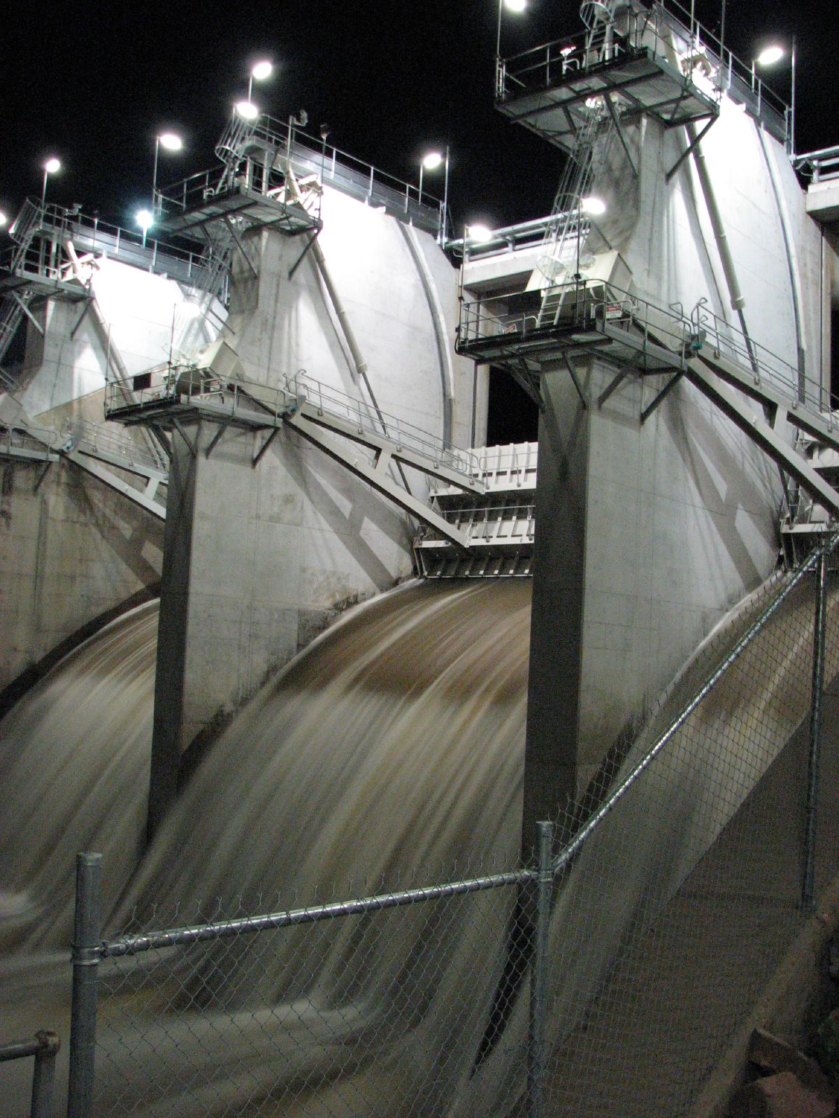
Catchment & Hydrological Impact

The Ross River acts as the primary lifeblood for Lake Ross, making it a cornerstone of the North East Coast network. Hydrological health in this specific drainage basin is vital for downstream ecosystems. Catchment dynamics in the North East Coast are deeply influenced by the retention capacity of Lake Ross.

Agricultural & Economic Significance

Beyond standard municipal supply, Lake Ross is a vital asset for the regional agricultural economy in Queensland. Irrigation allocations are directly tied to these storage metrics. Sustainable water management here ensures that both crops and livestock can survive prolonged dry spells.

Ecological & Recreational Context

Ecologically, the reservoir and its immediate wetlands serve as a crucial habitat for native Australian wildlife. During periods of healthy water levels, the area often sees an increase in recreational activities such as fishing, boating, and camping. However, environmental flow releases must be carefully balanced to protect downstream river health.

Current Weather & Evaporation Impact

The weather around the catchment is currently recording 24°C. With 0mm of recent rainfall and partly cloudy skies, the catchment is relatively dry today.

Future Outlook & Monitoring

Looking ahead, the trajectory of Lake Ross's water levels will depend heavily on upcoming seasonal rainfall patterns. Continuous telemetry and advanced hydrological modeling are employed to forecast storage changes. Given the unpredictable nature of Australia's climate, from La Niña flooding to El Niño droughts, maintaining a dynamic operational strategy for Lake Ross is absolutely essential.

Location Map

Frequently Asked Questions

What is the current water level of Lake Ross?
As of the latest official reading, the water level at Lake Ross is at 85.6% of its total capacity.
Is Lake Ross currently full?
It is partially full, currently holding steady at 85.6%.
What is the maximum water capacity of Lake Ross?
When completely full (100%), Lake Ross can hold up to 233 Gigalitres (GL) of water.
Where is Lake Ross located?
This reservoir is a critical water storage facility located in the state of Queensland, Australia.
How does the water level at Lake Ross affect local agriculture?
Water levels dictate the irrigation allocations for surrounding farmlands. A healthy level of 85.6% ensures that local farmers have the necessary water security for their seasonal crops and livestock.
Who manages the data for Lake Ross?
The data is sourced from official government authorities including the Bureau of Meteorology (BOM) and specific state water utilities.

Nearby Dams in Queensland

Largest Reservoirs in Queensland

Latest Water & Drought News

← Back to all dams