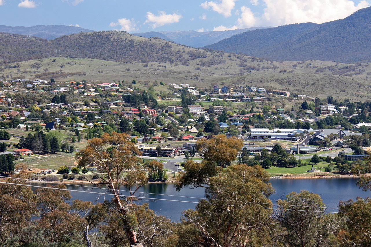
Water Level Analysis
The current volume at Lake Jindabyne is running lower than standard operational thresholds. At 31.1%, the facility only holds 690 GL. This lower-than-average capacity may trigger preliminary water-saving advisories in New South Wales if dry conditions persist.
Catchment & Hydrological Impact
Fed primarily by the Snowy River, this reservoir plays a critical role in the South East Coast (Victoria) drainage division. Hydrological health in this specific drainage basin is vital for downstream ecosystems. The South East Coast (Victoria) region relies heavily on the seasonal inflows captured here.
Agricultural & Economic Significance
Beyond standard municipal supply, Lake Jindabyne is a vital asset for the regional agricultural economy in New South Wales. The local economy, heavily rooted in agriculture, fluctuates in tandem with the health of this reservoir. Sustainable water management here ensures that both crops and livestock can survive prolonged dry spells.
Ecological & Recreational Context
Ecologically, the reservoir and its immediate wetlands serve as a crucial habitat for native Australian wildlife. During periods of healthy water levels, the area often sees an increase in recreational activities such as fishing, boating, and camping. Authorities must constantly balance the need for human water consumption with the ecological necessity of maintaining healthy river systems downstream.
Current Weather & Evaporation Impact
Cooler current temperatures of 14°C help minimize evaporation losses across the reservoir. Under current clear sky weather, there is no direct rainfall contributing to the immediate storage levels.
Future Outlook & Monitoring
Looking ahead, the trajectory of Lake Jindabyne's water levels will depend heavily on upcoming seasonal rainfall patterns. Continuous telemetry and advanced hydrological modeling are employed to forecast storage changes. Given the unpredictable nature of Australia's climate, from La Niña flooding to El Niño droughts, maintaining a dynamic operational strategy for Lake Jindabyne is absolutely essential.