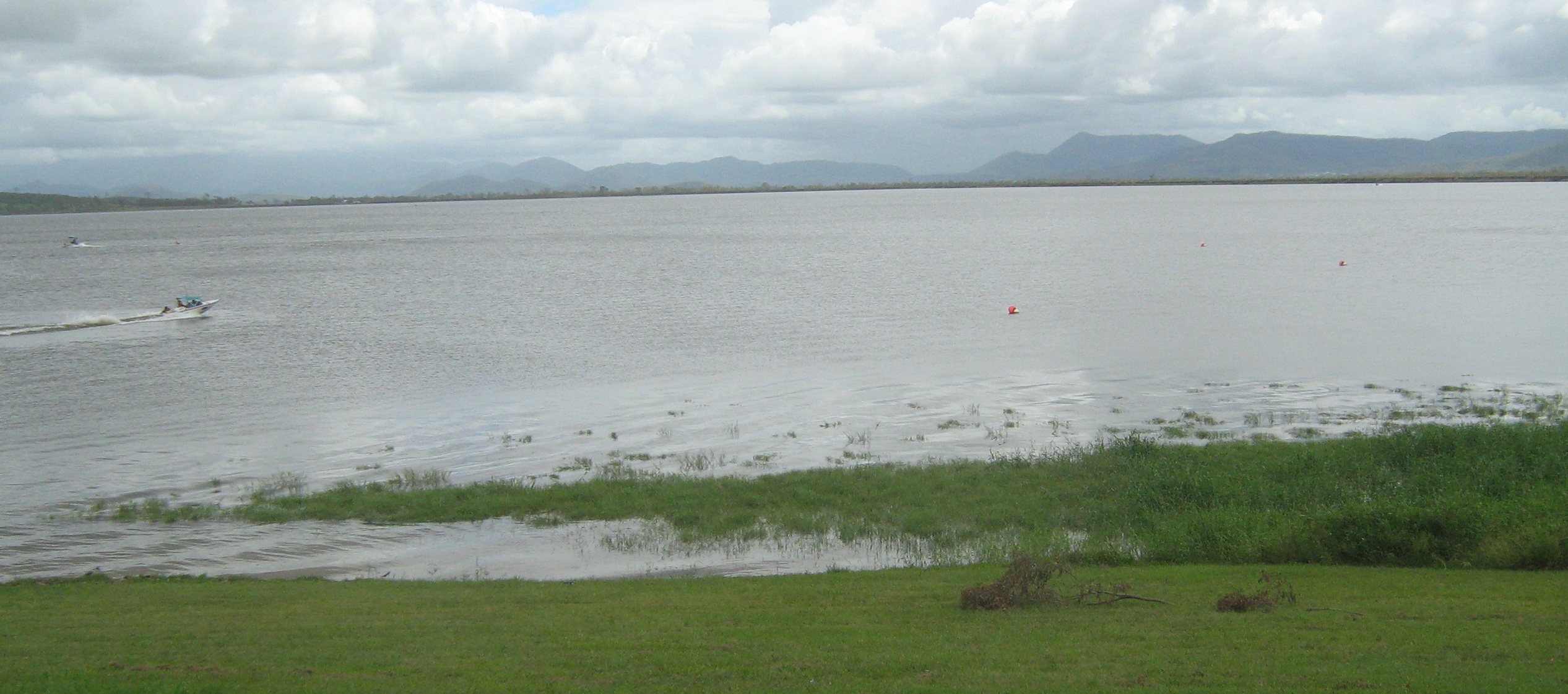
Water Level Analysis
Reservoir storage at Kinchant is near full capacity. Standing at an impressive 98.5%, the total volume sits at 63 GL. Such elevated levels ensure uninterrupted supply for the surrounding catchments.
Catchment & Hydrological Impact
Fed primarily by the North Sandy Creek, this reservoir plays a critical role in the North East Coast drainage division. Hydrological health in this specific drainage basin is vital for downstream ecosystems. The North East Coast region relies heavily on the seasonal inflows captured here.
Agricultural & Economic Significance
Agriculture in the surrounding areas of Queensland depends heavily on the water security provided by Kinchant. Farmers and agribusinesses monitor these levels closely to plan their seasonal crop yields. Without the buffer provided by this massive 63 GL storage, regional farming would face extreme volatility.
Ecological & Recreational Context
The surrounding catchment of Kinchant also supports diverse local flora and fauna. When capacity allows, Kinchant becomes a hub for regional tourism and water sports. Authorities must constantly balance the need for human water consumption with the ecological necessity of maintaining healthy river systems downstream.
Current Weather & Evaporation Impact
The weather around the catchment is currently recording 23°C. Currently experiencing clear sky conditions with no immediate precipitation, inflows remain entirely dependent on upstream river movement.
Future Outlook & Monitoring
Looking ahead, the trajectory of Kinchant's water levels will depend heavily on upcoming seasonal rainfall patterns. State water authorities utilize highly sophisticated monitoring tools to ensure every drop is accounted for. Given the unpredictable nature of Australia's climate, from La Niña flooding to El Niño droughts, maintaining a dynamic operational strategy for Kinchant is absolutely essential.