Real-Time Dam Levels
Across Australia

Track water storage, capacity and historical trends for major reservoirs in New South Wales, Victoria, Queensland and beyond.

57.7% National average
303 Dams tracked
87,729 GL Total capacity
04 Jun 2026 Last Updated
Jounama Pondage Water Level

Jounama Pondage Water Level

New South Wales · Unknown
Reviewed by Water Resources Analyst
Hydrological Summary: Jounama Pondage currently stores 70.8% of its total 44 GL capacity. Located in NSW and operated by Snowy Hydro Limited, it is a critical water source for regional supply and irrigation.
Data officially sourced and updated from New South Wales water authorities. Last dataset update: 2026-03-24 00:00:00
Current Storage Level 70.8%
Total Capacity
44 GL
Status
Normal / Safe
Operator
Snowy Hydro Limited
Last Updated
24 Mar 2026
Live Weather
8°C Partly cloudy
Rain: 0mm | Hum: 90%

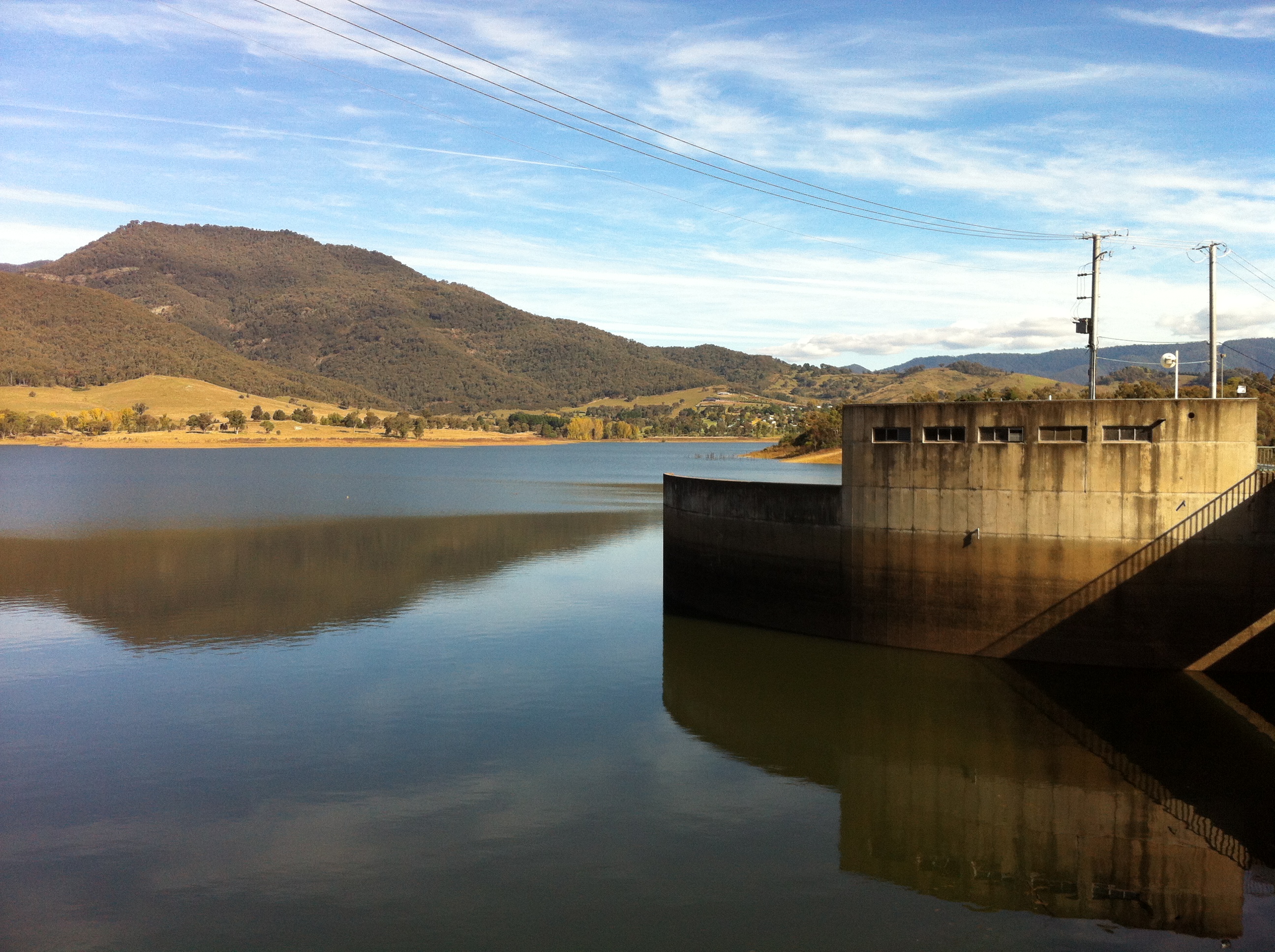
Water Level Analysis

Water levels at Jounama Pondage are well within positive historical averages. At 70.8% capacity, the facility is holding 44 GL of water. The local water grid benefits significantly from this stable storage level.

Catchment & Hydrological Impact

The Tumut River acts as the primary lifeblood for Jounama Pondage, making it a cornerstone of the Murray-Darling Basin network. Hydrological health in this specific drainage basin is vital for downstream ecosystems. Catchment dynamics in the Murray-Darling Basin are deeply influenced by the retention capacity of Jounama Pondage.

Agricultural & Economic Significance

Beyond standard municipal supply, Jounama Pondage is a vital asset for the regional agricultural economy in New South Wales. The local economy, heavily rooted in agriculture, fluctuates in tandem with the health of this reservoir. Sustainable water management here ensures that both crops and livestock can survive prolonged dry spells.

Ecological & Recreational Context

The surrounding catchment of Jounama Pondage also supports diverse local flora and fauna. During periods of healthy water levels, the area often sees an increase in recreational activities such as fishing, boating, and camping. Authorities must constantly balance the need for human water consumption with the ecological necessity of maintaining healthy river systems downstream.

Current Weather & Evaporation Impact

Cooler current temperatures of 8°C help minimize evaporation losses across the reservoir. With 0mm of recent rainfall and partly cloudy skies, the catchment is relatively dry today.

Future Outlook & Monitoring

The Bureau of Meteorology's climate outlooks will play a pivotal role in predicting the future inflows for this catchment. Continuous telemetry and advanced hydrological modeling are employed to forecast storage changes. Given the unpredictable nature of Australia's climate, from La Niña flooding to El Niño droughts, maintaining a dynamic operational strategy for Jounama Pondage is absolutely essential.

Location Map

Frequently Asked Questions

What is the current water level of Jounama Pondage?
As of the latest official reading, the water level at Jounama Pondage is at 70.8% of its total capacity.
Is Jounama Pondage currently full?
It is partially full, currently holding steady at 70.8%.
What is the maximum water capacity of Jounama Pondage?
When completely full (100%), Jounama Pondage can hold up to 44 Gigalitres (GL) of water.
Where is Jounama Pondage located?
This reservoir is a critical water storage facility located in the state of New South Wales, Australia.
How does the water level at Jounama Pondage affect local agriculture?
Water levels dictate the irrigation allocations for surrounding farmlands. A healthy level of 70.8% ensures that local farmers have the necessary water security for their seasonal crops and livestock.
Who manages the data for Jounama Pondage?
The data is sourced from official government authorities including the Bureau of Meteorology (BOM) and specific state water utilities.

Nearby Dams in New South Wales

Largest Reservoirs in New South Wales

Latest Water & Drought News

← Back to all dams