Real-Time Dam Levels
Across Australia

Track water storage, capacity and historical trends for major reservoirs in New South Wales, Victoria, Queensland and beyond.

57.7% National average
303 Dams tracked
87,729 GL Total capacity
04 Jun 2026 Last Updated
Hay Weir Water Level

Hay Weir Water Level

New South Wales · Unknown
Reviewed by Water Resources Analyst
Hydrological Summary: Hay Weir currently stores 84.5% of its total 13 GL capacity. Located in NSW and operated by WaterNSW, it is a critical water source for regional supply and irrigation.
Data officially sourced and updated from New South Wales water authorities. Last dataset update: 2026-05-01 00:00:00
Current Storage Level 84.5%
Total Capacity
13 GL
Status
Normal / Safe
Operator
WaterNSW
Last Updated
01 May 2026
Live Weather
11°C Partly cloudy
Rain: 0mm | Hum: 82%

Water Level Analysis

Water levels at Hay Weir are well within positive historical averages. With a current fill rate of 84.5%, the reservoir contains 13 GL. This volume provides a solid foundation for both urban and agricultural demands across New South Wales.

Agricultural & Economic Significance

Agriculture in the surrounding areas of New South Wales depends heavily on the water security provided by Hay Weir. Irrigation allocations are directly tied to these storage metrics. Sustainable water management here ensures that both crops and livestock can survive prolonged dry spells.

Ecological & Recreational Context

The surrounding catchment of Hay Weir also supports diverse local flora and fauna. When capacity allows, Hay Weir becomes a hub for regional tourism and water sports. However, environmental flow releases must be carefully balanced to protect downstream river health.

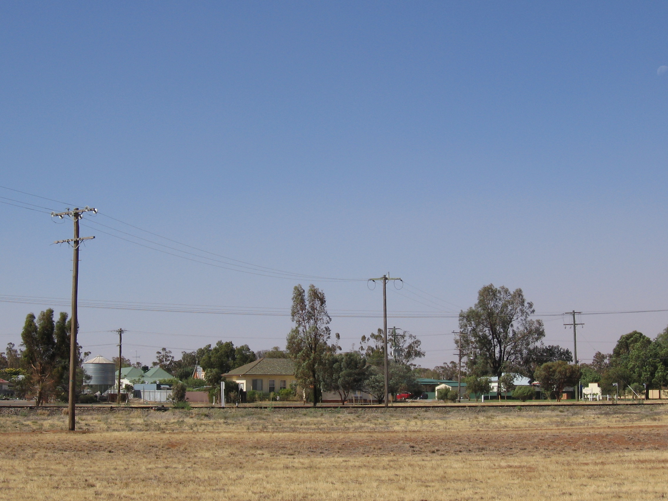
Current Weather & Evaporation Impact

With a mild reading of 11°C today, surface evaporation is significantly reduced, helping to preserve current volume. With 0mm of recent rainfall and partly cloudy skies, the catchment is relatively dry today.

Future Outlook & Monitoring

Looking ahead, the trajectory of Hay Weir's water levels will depend heavily on upcoming seasonal rainfall patterns. Continuous telemetry and advanced hydrological modeling are employed to forecast storage changes. Given the unpredictable nature of Australia's climate, from La Niña flooding to El Niño droughts, maintaining a dynamic operational strategy for Hay Weir is absolutely essential.

Location Map

Frequently Asked Questions

What is the current water level of Hay Weir?
As of the latest official reading, the water level at Hay Weir is at 84.5% of its total capacity.
Is Hay Weir currently full?
It is partially full, currently holding steady at 84.5%.
What is the maximum water capacity of Hay Weir?
When completely full (100%), Hay Weir can hold up to 13 Gigalitres (GL) of water.
Where is Hay Weir located?
This reservoir is a critical water storage facility located in the state of New South Wales, Australia.
How does the water level at Hay Weir affect local agriculture?
Water levels dictate the irrigation allocations for surrounding farmlands. A healthy level of 84.5% ensures that local farmers have the necessary water security for their seasonal crops and livestock.
Who manages the data for Hay Weir?
The data is sourced from official government authorities including the Bureau of Meteorology (BOM) and specific state water utilities.

Nearby Dams in New South Wales

Largest Reservoirs in New South Wales

Latest Water & Drought News

← Back to all dams