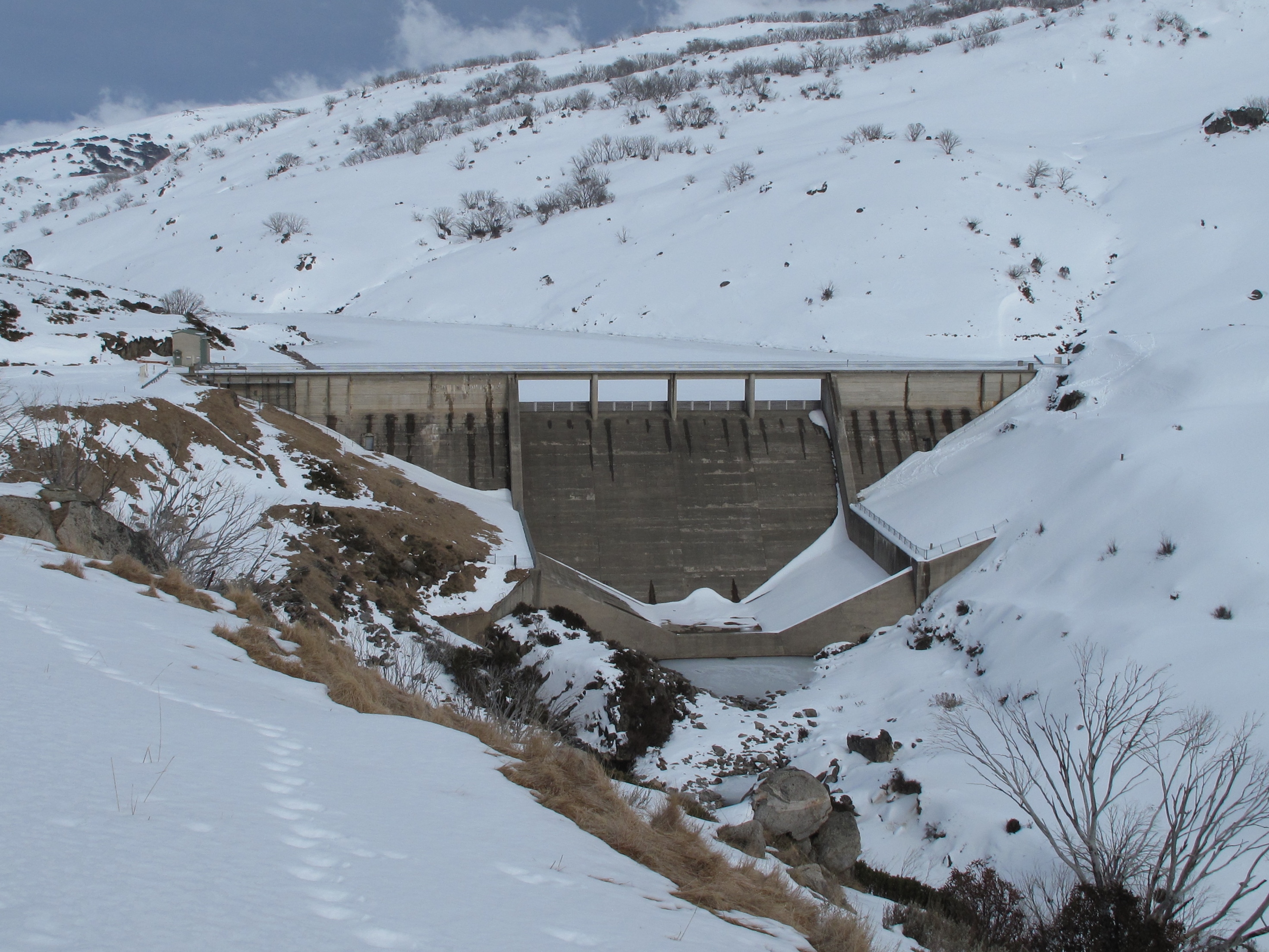
Water Level Analysis
Water levels at Guthega Pondage are well within positive historical averages. With a current fill rate of 80.3%, the reservoir contains 2 GL. This volume provides a solid foundation for both urban and agricultural demands across New South Wales.
Catchment & Hydrological Impact
The Snowy River acts as the primary lifeblood for Guthega Pondage, making it a cornerstone of the South East Coast (Victoria) network. Managing the flow from the Snowy River ensures that downstream agricultural zones receive consistent supply. Catchment dynamics in the South East Coast (Victoria) are deeply influenced by the retention capacity of Guthega Pondage.
Agricultural & Economic Significance
Beyond standard municipal supply, Guthega Pondage is a vital asset for the regional agricultural economy in New South Wales. Farmers and agribusinesses monitor these levels closely to plan their seasonal crop yields. Without the buffer provided by this massive 2 GL storage, regional farming would face extreme volatility.
Ecological & Recreational Context
Ecologically, the reservoir and its immediate wetlands serve as a crucial habitat for native Australian wildlife. When capacity allows, Guthega Pondage becomes a hub for regional tourism and water sports. However, environmental flow releases must be carefully balanced to protect downstream river health.
Current Weather & Evaporation Impact
Cooler current temperatures of 11°C help minimize evaporation losses across the reservoir. With 0mm of recent rainfall and clear sky skies, the catchment is relatively dry today.
Future Outlook & Monitoring
The Bureau of Meteorology's climate outlooks will play a pivotal role in predicting the future inflows for this catchment. State water authorities utilize highly sophisticated monitoring tools to ensure every drop is accounted for. Given the unpredictable nature of Australia's climate, from La Niña flooding to El Niño droughts, maintaining a dynamic operational strategy for Guthega Pondage is absolutely essential.