Real-Time Dam Levels
Across Australia

Track water storage, capacity and historical trends for major reservoirs in New South Wales, Victoria, Queensland and beyond.

57.7% National average
303 Dams tracked
87,729 GL Total capacity
04 Jun 2026 Last Updated
Gogeldrie Weir Water Level

Gogeldrie Weir Water Level

New South Wales · Unknown
Reviewed by Water Resources Analyst
Hydrological Summary: Gogeldrie Weir currently stores 38.2% of its total 7 GL capacity. Located in NSW and operated by WaterNSW, it is a critical water source for regional supply and irrigation.
Data officially sourced and updated from New South Wales water authorities. Last dataset update: 2026-06-02 23:47:42
Current Storage Level 38.2%
Total Capacity
7 GL
Status
Normal / Safe
Operator
WaterNSW
Last Updated
02 Jun 2026
Live Weather
11°C Partly cloudy
Rain: 0mm | Hum: 79%

Water Level Analysis
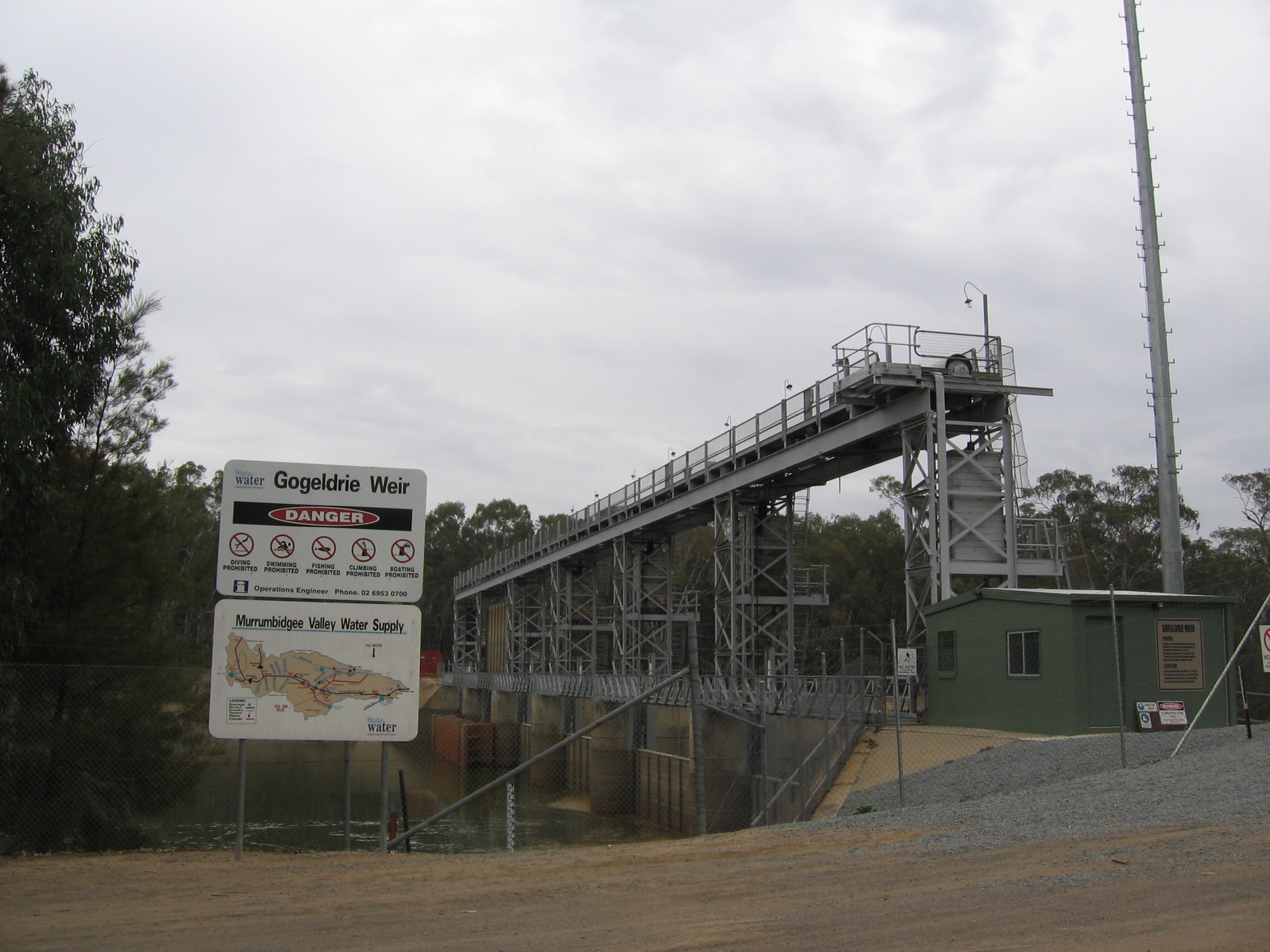
The current volume at Gogeldrie Weir is running lower than standard operational thresholds. With the reservoir sitting at just 38.2%, the total available volume is 7 GL. Drought conditions appear to be heavily impacting this specific catchment area.

Agricultural & Economic Significance

Agriculture in the surrounding areas of New South Wales depends heavily on the water security provided by Gogeldrie Weir. Farmers and agribusinesses monitor these levels closely to plan their seasonal crop yields. Sustainable water management here ensures that both crops and livestock can survive prolonged dry spells.

Ecological & Recreational Context

The surrounding catchment of Gogeldrie Weir also supports diverse local flora and fauna. During periods of healthy water levels, the area often sees an increase in recreational activities such as fishing, boating, and camping. Authorities must constantly balance the need for human water consumption with the ecological necessity of maintaining healthy river systems downstream.

Current Weather & Evaporation Impact

Cooler current temperatures of 11°C help minimize evaporation losses across the reservoir. Under current partly cloudy weather, there is no direct rainfall contributing to the immediate storage levels.

Future Outlook & Monitoring

The Bureau of Meteorology's climate outlooks will play a pivotal role in predicting the future inflows for this catchment. State water authorities utilize highly sophisticated monitoring tools to ensure every drop is accounted for. Resilience against extreme weather events remains the ultimate goal for the managers of this critical infrastructure.

Location Map

Frequently Asked Questions

What is the current water level of Gogeldrie Weir?
As of the latest official reading, the water level at Gogeldrie Weir is at 38.2% of its total capacity.
Is Gogeldrie Weir currently full?
No, it is currently experiencing low water levels at 38.2%.
What is the maximum water capacity of Gogeldrie Weir?
When completely full (100%), Gogeldrie Weir can hold up to 7 Gigalitres (GL) of water.
Where is Gogeldrie Weir located?
This reservoir is a critical water storage facility located in the state of New South Wales, Australia.
How does the water level at Gogeldrie Weir affect local agriculture?
Water levels dictate the irrigation allocations for surrounding farmlands. A healthy level of 38.2% ensures that local farmers have the necessary water security for their seasonal crops and livestock.
Who manages the data for Gogeldrie Weir?
The data is sourced from official government authorities including the Bureau of Meteorology (BOM) and specific state water utilities.

Nearby Dams in New South Wales

Largest Reservoirs in New South Wales

Latest Water & Drought News

← Back to all dams