Real-Time Dam Levels
Across Australia

Track water storage, capacity and historical trends for major reservoirs in New South Wales, Victoria, Queensland and beyond.

57.7% National average
303 Dams tracked
87,729 GL Total capacity
04 Jun 2026 Last Updated
Glennies Creek Water Level

Glennies Creek Water Level

New South Wales · Hunter
Reviewed by Water Resources Analyst
Hydrological Summary: Glennies Creek currently stores 93.5% of its total 283 GL capacity. Located in NSW and operated by WaterNSW, it is a critical water source for regional supply and irrigation.
Data officially sourced and updated from New South Wales water authorities. Last dataset update: 2026-06-02 20:46:36
Current Storage Level 93.5%
Total Capacity
283 GL
Status
Normal / Safe
Operator
WaterNSW
Last Updated
02 Jun 2026
Live Weather
14°C Partly cloudy
Rain: 0mm | Hum: 59%

Water Level Analysis
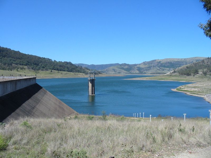
Water levels at Glennies Creek are well within positive historical averages. At 93.5% capacity, the facility is holding 283 GL of water. The local water grid benefits significantly from this stable storage level.

Agricultural & Economic Significance

Agriculture in the surrounding areas of New South Wales depends heavily on the water security provided by Glennies Creek. Farmers and agribusinesses monitor these levels closely to plan their seasonal crop yields. Without the buffer provided by this massive 283 GL storage, regional farming would face extreme volatility.

Ecological & Recreational Context

The surrounding catchment of Glennies Creek also supports diverse local flora and fauna. During periods of healthy water levels, the area often sees an increase in recreational activities such as fishing, boating, and camping. Authorities must constantly balance the need for human water consumption with the ecological necessity of maintaining healthy river systems downstream.

Current Weather & Evaporation Impact

Cooler current temperatures of 14°C help minimize evaporation losses across the reservoir. Currently experiencing partly cloudy conditions with no immediate precipitation, inflows remain entirely dependent on upstream river movement.

Future Outlook & Monitoring

The Bureau of Meteorology's climate outlooks will play a pivotal role in predicting the future inflows for this catchment. Continuous telemetry and advanced hydrological modeling are employed to forecast storage changes. Given the unpredictable nature of Australia's climate, from La Niña flooding to El Niño droughts, maintaining a dynamic operational strategy for Glennies Creek is absolutely essential.

Location Map

Frequently Asked Questions

What is the current water level of Glennies Creek?
As of the latest official reading, the water level at Glennies Creek is at 93.5% of its total capacity.
Is Glennies Creek currently full?
It is partially full, currently holding steady at 93.5%.
What is the maximum water capacity of Glennies Creek?
When completely full (100%), Glennies Creek can hold up to 283 Gigalitres (GL) of water.
Where is Glennies Creek located?
This reservoir is a critical water storage facility located in the state of New South Wales, Australia.
How does the water level at Glennies Creek affect local agriculture?
Water levels dictate the irrigation allocations for surrounding farmlands. A healthy level of 93.5% ensures that local farmers have the necessary water security for their seasonal crops and livestock.
Who manages the data for Glennies Creek?
The data is sourced from official government authorities including the Bureau of Meteorology (BOM) and specific state water utilities.

Nearby Dams in New South Wales

Largest Reservoirs in New South Wales

Latest Water & Drought News

← Back to all dams