Water Level Analysis
Reservoir storage at Clare Weir is near full capacity. Standing at an impressive 97.4%, the total volume sits at 16 GL. This provides immense water security for the Queensland region.
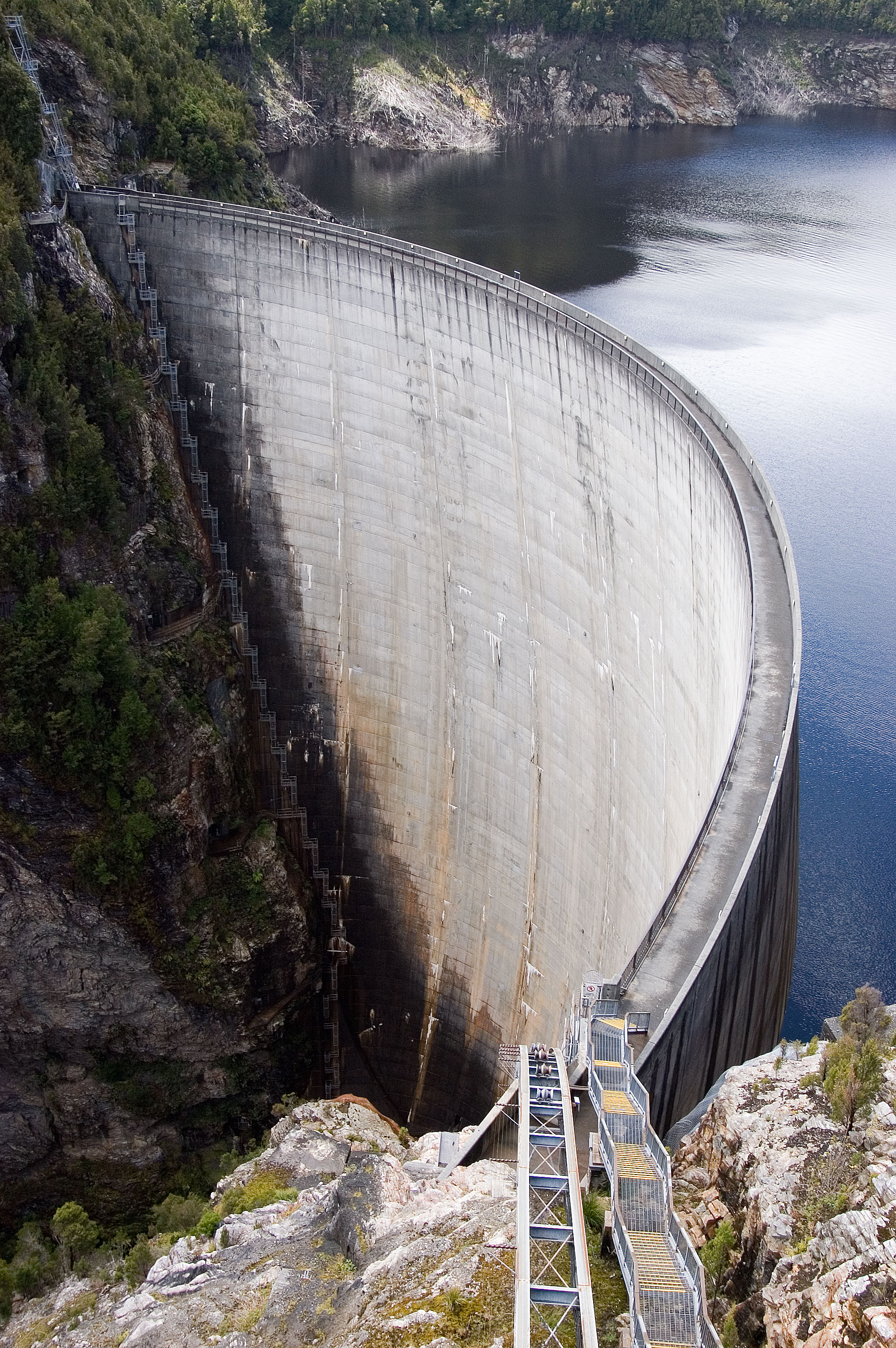
Catchment & Hydrological Impact
The Burdekin River acts as the primary lifeblood for Clare Weir, making it a cornerstone of the North East Coast network. Hydrological health in this specific drainage basin is vital for downstream ecosystems. Catchment dynamics in the North East Coast are deeply influenced by the retention capacity of Clare Weir.
Agricultural & Economic Significance
Agriculture in the surrounding areas of Queensland depends heavily on the water security provided by Clare Weir. Irrigation allocations are directly tied to these storage metrics. Without the buffer provided by this massive 16 GL storage, regional farming would face extreme volatility.
Ecological & Recreational Context
Ecologically, the reservoir and its immediate wetlands serve as a crucial habitat for native Australian wildlife. During periods of healthy water levels, the area often sees an increase in recreational activities such as fishing, boating, and camping. However, environmental flow releases must be carefully balanced to protect downstream river health.
Current Weather & Evaporation Impact
Current local temperatures are sitting at a moderate 23°C. Currently experiencing clear sky conditions with no immediate precipitation, inflows remain entirely dependent on upstream river movement.
Future Outlook & Monitoring
Looking ahead, the trajectory of Clare Weir's water levels will depend heavily on upcoming seasonal rainfall patterns. Continuous telemetry and advanced hydrological modeling are employed to forecast storage changes. Resilience against extreme weather events remains the ultimate goal for the managers of this critical infrastructure.