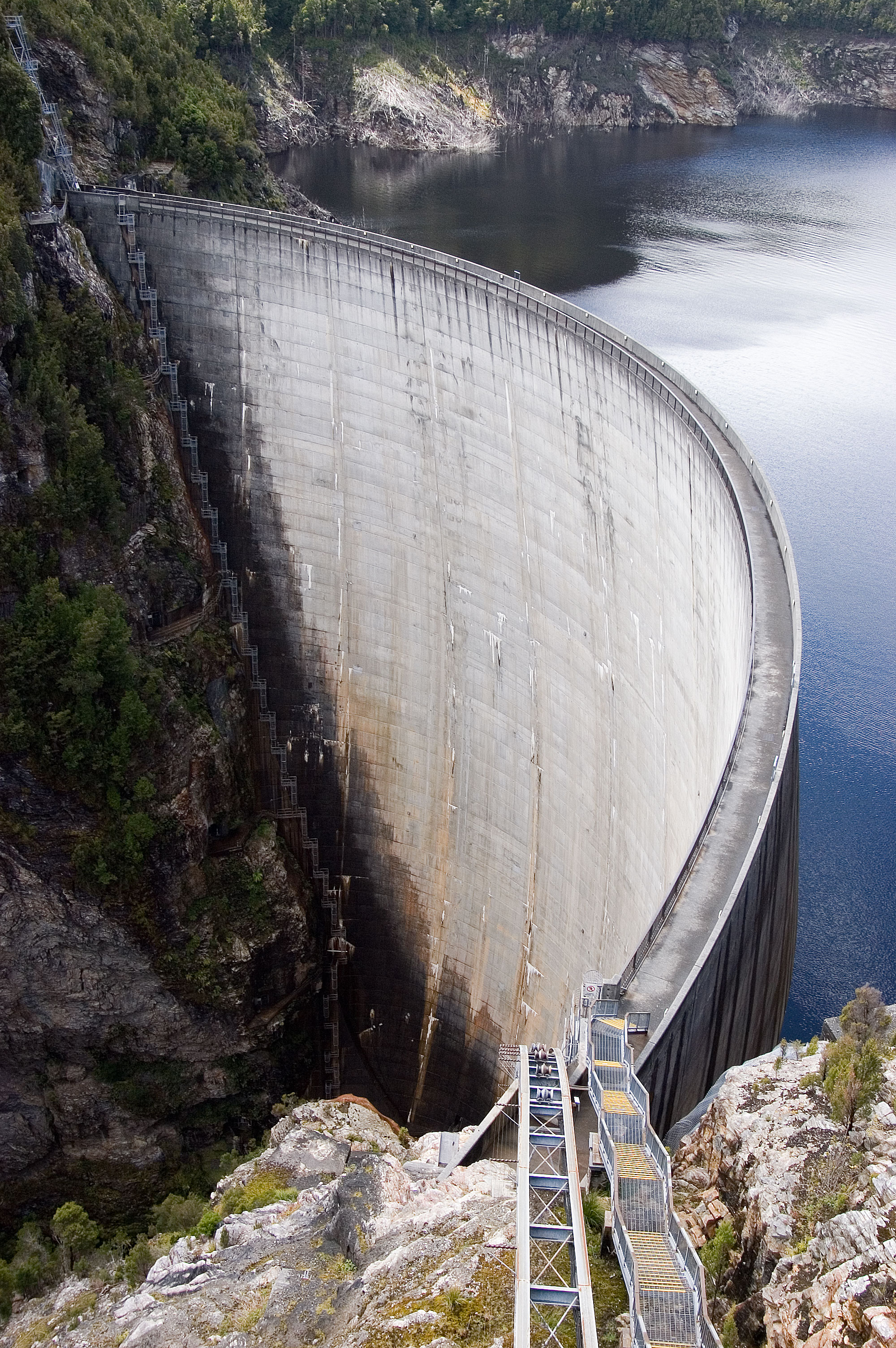
Water Level Analysis
Water levels at Bucca Weir are well within positive historical averages. With a current fill rate of 72.5%, the reservoir contains 12 GL. This volume provides a solid foundation for both urban and agricultural demands across Queensland.
Catchment & Hydrological Impact
The Kolan River acts as the primary lifeblood for Bucca Weir, making it a cornerstone of the North East Coast network. Managing the flow from the Kolan River ensures that downstream agricultural zones receive consistent supply. Catchment dynamics in the North East Coast are deeply influenced by the retention capacity of Bucca Weir.
Agricultural & Economic Significance
Agriculture in the surrounding areas of Queensland depends heavily on the water security provided by Bucca Weir. Irrigation allocations are directly tied to these storage metrics. Sustainable water management here ensures that both crops and livestock can survive prolonged dry spells.
Ecological & Recreational Context
Ecologically, the reservoir and its immediate wetlands serve as a crucial habitat for native Australian wildlife. During periods of healthy water levels, the area often sees an increase in recreational activities such as fishing, boating, and camping. Authorities must constantly balance the need for human water consumption with the ecological necessity of maintaining healthy river systems downstream.
Current Weather & Evaporation Impact
The weather around the catchment is currently recording 21°C. Under current partly cloudy weather, there is no direct rainfall contributing to the immediate storage levels.
Future Outlook & Monitoring
The Bureau of Meteorology's climate outlooks will play a pivotal role in predicting the future inflows for this catchment. State water authorities utilize highly sophisticated monitoring tools to ensure every drop is accounted for. Given the unpredictable nature of Australia's climate, from La Niña flooding to El Niño droughts, maintaining a dynamic operational strategy for Bucca Weir is absolutely essential.