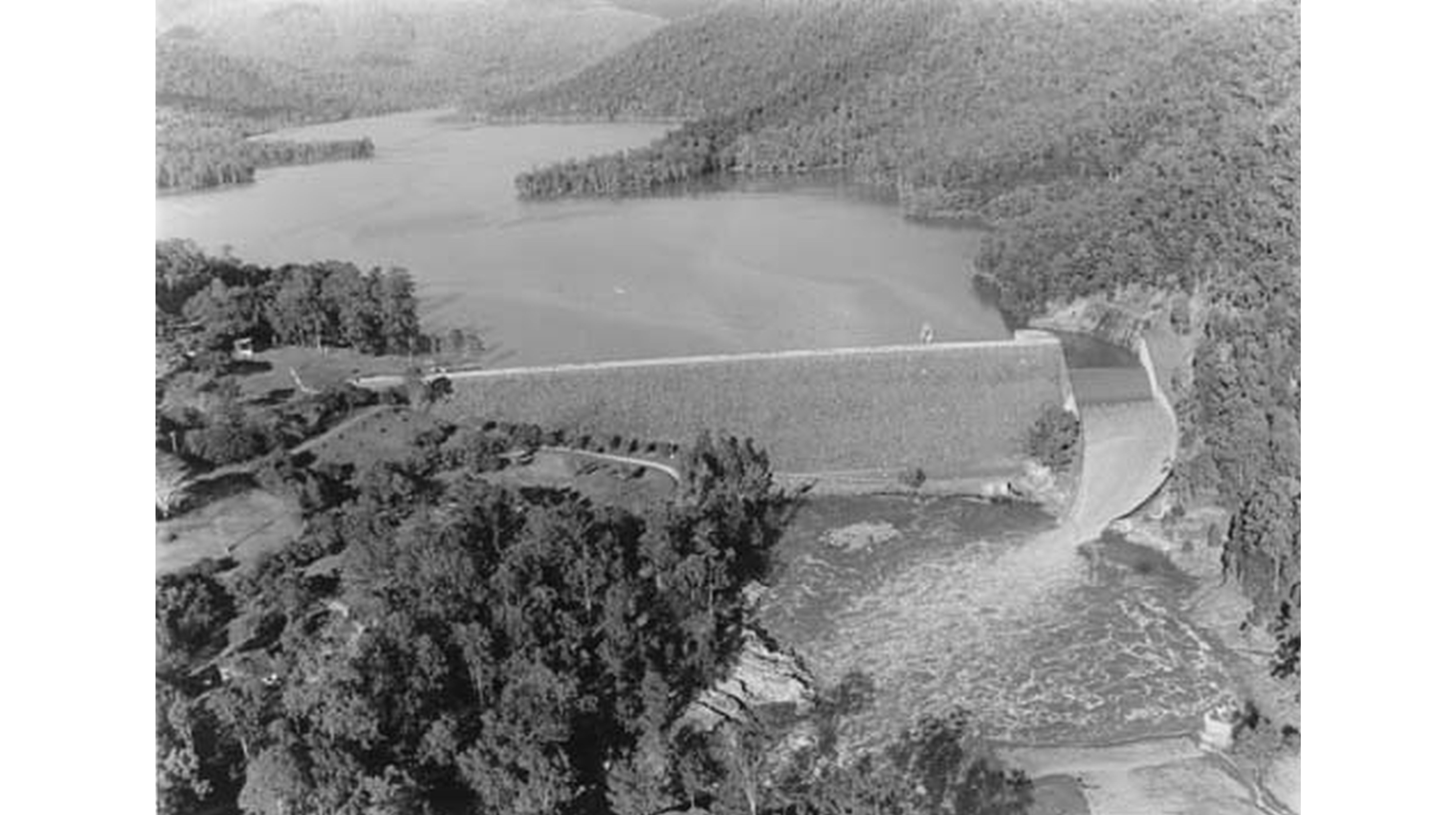
Water Level Analysis
Borumba is currently operating near maximum storage limits. With current readings at 99.5%, the reservoir holds a robust 46 GL. This provides immense water security for the Queensland region.
Catchment & Hydrological Impact
Fed primarily by the Yabba Creek, this reservoir plays a critical role in the North East Coast drainage division. Hydrological health in this specific drainage basin is vital for downstream ecosystems. The North East Coast region relies heavily on the seasonal inflows captured here.
Agricultural & Economic Significance
Agriculture in the surrounding areas of Queensland depends heavily on the water security provided by Borumba. The local economy, heavily rooted in agriculture, fluctuates in tandem with the health of this reservoir. Sustainable water management here ensures that both crops and livestock can survive prolonged dry spells.
Ecological & Recreational Context
Ecologically, the reservoir and its immediate wetlands serve as a crucial habitat for native Australian wildlife. During periods of healthy water levels, the area often sees an increase in recreational activities such as fishing, boating, and camping. Authorities must constantly balance the need for human water consumption with the ecological necessity of maintaining healthy river systems downstream.
Current Weather & Evaporation Impact
Current local temperatures are sitting at a moderate 20°C. Currently experiencing partly cloudy conditions with no immediate precipitation, inflows remain entirely dependent on upstream river movement.
Future Outlook & Monitoring
The Bureau of Meteorology's climate outlooks will play a pivotal role in predicting the future inflows for this catchment. Continuous telemetry and advanced hydrological modeling are employed to forecast storage changes. Resilience against extreme weather events remains the ultimate goal for the managers of this critical infrastructure.