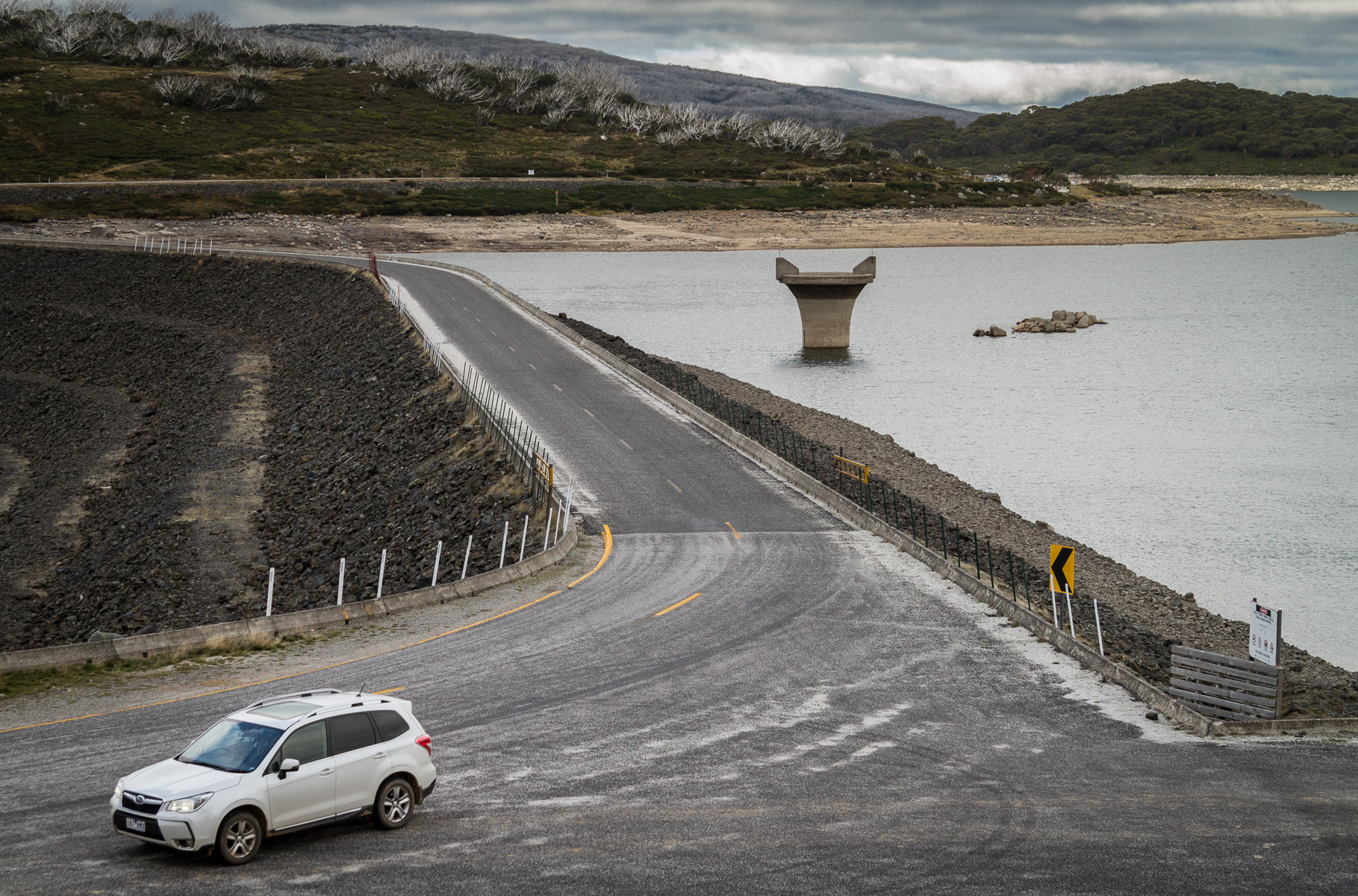
Water Level Analysis
Water capacity at Upper Stony Creek No. 3 is holding at moderate levels. Sitting at 52.7%, the total stored volume is 4 GL. This represents a typical midpoint for the region's hydrological cycle.
Catchment & Hydrological Impact
The Upper Stony Creek acts as the primary lifeblood for Upper Stony Creek No. 3, making it a cornerstone of the South East Coast (Victoria) network. Hydrological health in this specific drainage basin is vital for downstream ecosystems. Catchment dynamics in the South East Coast (Victoria) are deeply influenced by the retention capacity of Upper Stony Creek No. 3.
Agricultural & Economic Significance
Agriculture in the surrounding areas of Victoria depends heavily on the water security provided by Upper Stony Creek No. 3. Irrigation allocations are directly tied to these storage metrics. Sustainable water management here ensures that both crops and livestock can survive prolonged dry spells.
Ecological & Recreational Context
Ecologically, the reservoir and its immediate wetlands serve as a crucial habitat for native Australian wildlife. When capacity allows, Upper Stony Creek No. 3 becomes a hub for regional tourism and water sports. However, environmental flow releases must be carefully balanced to protect downstream river health.
Current Weather & Evaporation Impact
Current local temperatures are sitting at a moderate 17°C. Under current partly cloudy weather, there is no direct rainfall contributing to the immediate storage levels.
Future Outlook & Monitoring
The Bureau of Meteorology's climate outlooks will play a pivotal role in predicting the future inflows for this catchment. Continuous telemetry and advanced hydrological modeling are employed to forecast storage changes. Given the unpredictable nature of Australia's climate, from La Niña flooding to El Niño droughts, maintaining a dynamic operational strategy for Upper Stony Creek No. 3 is absolutely essential.