Water Level Analysis
Dartmouth is currently maintaining very healthy storage levels. At 70.1% capacity, the facility is holding 3,856 GL of water. This indicates a very comfortable buffer for the upcoming dry seasons.
Catchment & Hydrological Impact
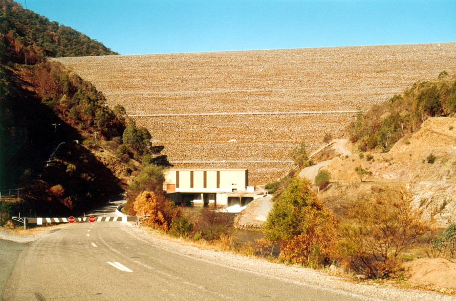
Fed primarily by the Mitta Mitta River, this reservoir plays a critical role in the Murray-Darling Basin drainage division. Managing the flow from the Mitta Mitta River ensures that downstream agricultural zones receive consistent supply. The Murray-Darling Basin region relies heavily on the seasonal inflows captured here.
Agricultural & Economic Significance
Beyond standard municipal supply, Dartmouth is a vital asset for the regional agricultural economy in Victoria. Farmers and agribusinesses monitor these levels closely to plan their seasonal crop yields. Sustainable water management here ensures that both crops and livestock can survive prolonged dry spells.
Ecological & Recreational Context
Ecologically, the reservoir and its immediate wetlands serve as a crucial habitat for native Australian wildlife. During periods of healthy water levels, the area often sees an increase in recreational activities such as fishing, boating, and camping. Authorities must constantly balance the need for human water consumption with the ecological necessity of maintaining healthy river systems downstream.
Current Weather & Evaporation Impact
The weather around the catchment is currently recording 18°C. With 0mm of recent rainfall and partly cloudy skies, the catchment is relatively dry today.
Future Outlook & Monitoring
The Bureau of Meteorology's climate outlooks will play a pivotal role in predicting the future inflows for this catchment. State water authorities utilize highly sophisticated monitoring tools to ensure every drop is accounted for. Resilience against extreme weather events remains the ultimate goal for the managers of this critical infrastructure.