Water Level Analysis
Ten Mile Brook is currently maintaining very healthy storage levels. With a current fill rate of 70.7%, the reservoir contains 2 GL. This volume provides a solid foundation for both urban and agricultural demands across Western Australia.
Catchment & Hydrological Impact
Fed primarily by the Ten Mile Brook, this reservoir plays a critical role in the South West Coast drainage division. Managing the flow from the Ten Mile Brook ensures that downstream agricultural zones receive consistent supply. The South West Coast region relies heavily on the seasonal inflows captured here.
Agricultural & Economic Significance
Beyond standard municipal supply, Ten Mile Brook is a vital asset for the regional agricultural economy in Western Australia. The local economy, heavily rooted in agriculture, fluctuates in tandem with the health of this reservoir. Sustainable water management here ensures that both crops and livestock can survive prolonged dry spells.
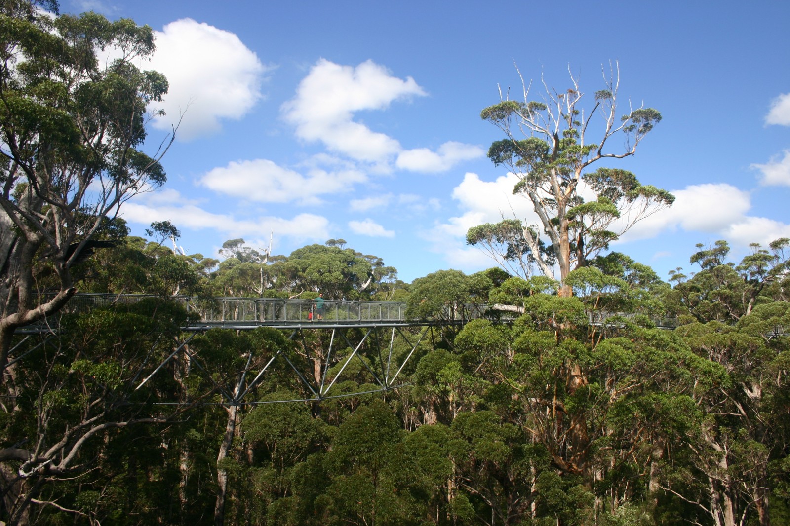
Ecological & Recreational Context
Ecologically, the reservoir and its immediate wetlands serve as a crucial habitat for native Australian wildlife. When capacity allows, Ten Mile Brook becomes a hub for regional tourism and water sports. However, environmental flow releases must be carefully balanced to protect downstream river health.
Current Weather & Evaporation Impact
Cooler current temperatures of 14°C help minimize evaporation losses across the reservoir. The recorded precipitation of 0.1mm indicates active rainfall in the catchment, which is excellent news for inflows.
Future Outlook & Monitoring
The Bureau of Meteorology's climate outlooks will play a pivotal role in predicting the future inflows for this catchment. Continuous telemetry and advanced hydrological modeling are employed to forecast storage changes. Given the unpredictable nature of Australia's climate, from La Niña flooding to El Niño droughts, maintaining a dynamic operational strategy for Ten Mile Brook is absolutely essential.