Water Level Analysis
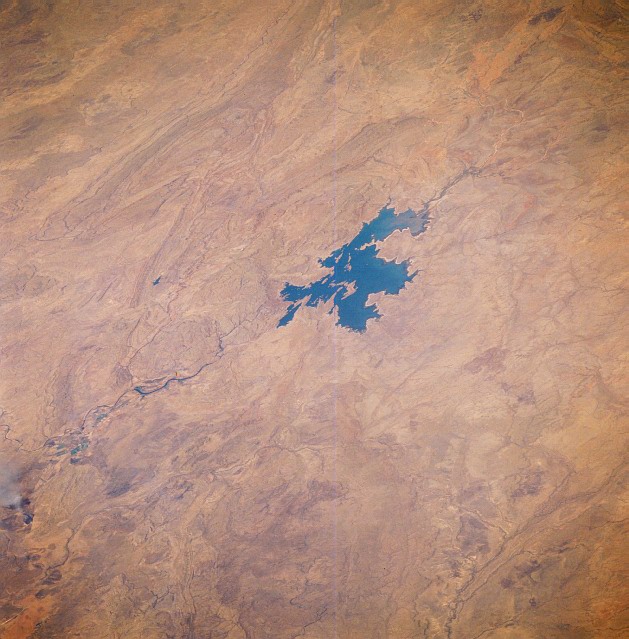
Argyle (Ord River) is currently operating near maximum storage limits. Standing at an impressive 100%, the total volume sits at 10,760 GL. This provides immense water security for the Western Australia region.
Catchment & Hydrological Impact
The Ord River acts as the primary lifeblood for Argyle (Ord River), making it a cornerstone of the Tanami-Timor Sea Coast network. Hydrological health in this specific drainage basin is vital for downstream ecosystems. The Tanami-Timor Sea Coast region relies heavily on the seasonal inflows captured here.
Agricultural & Economic Significance
Agriculture in the surrounding areas of Western Australia depends heavily on the water security provided by Argyle (Ord River). Farmers and agribusinesses monitor these levels closely to plan their seasonal crop yields. Sustainable water management here ensures that both crops and livestock can survive prolonged dry spells.
Ecological & Recreational Context
Ecologically, the reservoir and its immediate wetlands serve as a crucial habitat for native Australian wildlife. During periods of healthy water levels, the area often sees an increase in recreational activities such as fishing, boating, and camping. Authorities must constantly balance the need for human water consumption with the ecological necessity of maintaining healthy river systems downstream.
Current Weather & Evaporation Impact
Current local temperatures are sitting at a moderate 25°C. Under current clear sky weather, there is no direct rainfall contributing to the immediate storage levels.
Future Outlook & Monitoring
Looking ahead, the trajectory of Argyle (Ord River)'s water levels will depend heavily on upcoming seasonal rainfall patterns. State water authorities utilize highly sophisticated monitoring tools to ensure every drop is accounted for. Given the unpredictable nature of Australia's climate, from La Niña flooding to El Niño droughts, maintaining a dynamic operational strategy for Argyle (Ord River) is absolutely essential.