Real-Time Dam Levels
Across Australia

Track water storage, capacity and historical trends for major reservoirs in New South Wales, Victoria, Queensland and beyond.

57.7% National average
303 Dams tracked
87,729 GL Total capacity
04 Jun 2026 Last Updated
Merrimu Reservoir Water Level

Merrimu Reservoir Water Level

Victoria · Unknown
Reviewed by Water Resources Analyst
Hydrological Summary: Merrimu Reservoir currently stores 56.2% of its total 33 GL capacity. Located in VIC and operated by Southern Rural Water, it is a critical water source for regional supply and irrigation.
Data officially sourced and updated from Victoria water authorities. Last dataset update: 2026-05-28 12:00:00
Current Storage Level 56.2%
Total Capacity
33 GL
Status
Normal / Safe
Operator
Southern Rural Water
Last Updated
28 May 2026
Live Weather
11°C Partly cloudy
Rain: 0mm | Hum: 76%

Water Level Analysis

Water capacity at Merrimu Reservoir is holding at moderate levels. The current reading shows the reservoir at 56.2%, translating to 33 GL. Authorities continue to monitor inflows carefully.

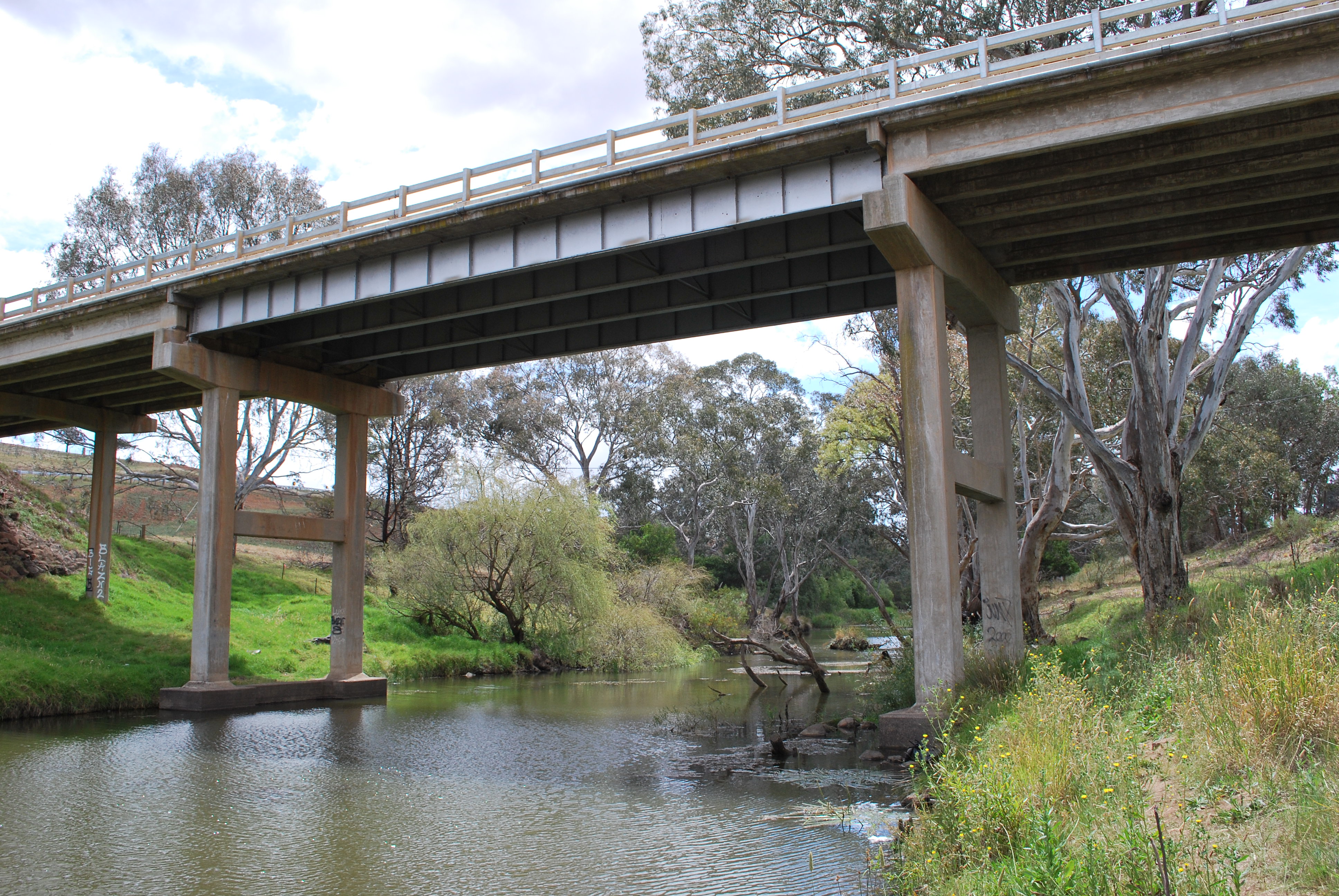
Catchment & Hydrological Impact

Fed primarily by the Pyrites Creek, this reservoir plays a critical role in the South East Coast (Victoria) drainage division. Hydrological health in this specific drainage basin is vital for downstream ecosystems. The South East Coast (Victoria) region relies heavily on the seasonal inflows captured here.

Agricultural & Economic Significance

Agriculture in the surrounding areas of Victoria depends heavily on the water security provided by Merrimu Reservoir. The local economy, heavily rooted in agriculture, fluctuates in tandem with the health of this reservoir. Sustainable water management here ensures that both crops and livestock can survive prolonged dry spells.

Ecological & Recreational Context

The surrounding catchment of Merrimu Reservoir also supports diverse local flora and fauna. During periods of healthy water levels, the area often sees an increase in recreational activities such as fishing, boating, and camping. Authorities must constantly balance the need for human water consumption with the ecological necessity of maintaining healthy river systems downstream.

Current Weather & Evaporation Impact

Cooler current temperatures of 11°C help minimize evaporation losses across the reservoir. Under current partly cloudy weather, there is no direct rainfall contributing to the immediate storage levels.

Future Outlook & Monitoring

Looking ahead, the trajectory of Merrimu Reservoir's water levels will depend heavily on upcoming seasonal rainfall patterns. Continuous telemetry and advanced hydrological modeling are employed to forecast storage changes. Given the unpredictable nature of Australia's climate, from La Niña flooding to El Niño droughts, maintaining a dynamic operational strategy for Merrimu Reservoir is absolutely essential.

Location Map

Frequently Asked Questions

What is the current water level of Merrimu Reservoir?
As of the latest official reading, the water level at Merrimu Reservoir is at 56.2% of its total capacity.
Is Merrimu Reservoir currently full?
It is partially full, currently holding steady at 56.2%.
What is the maximum water capacity of Merrimu Reservoir?
When completely full (100%), Merrimu Reservoir can hold up to 33 Gigalitres (GL) of water.
Where is Merrimu Reservoir located?
This reservoir is a critical water storage facility located in the state of Victoria, Australia.
How does the water level at Merrimu Reservoir affect local agriculture?
Water levels dictate the irrigation allocations for surrounding farmlands. A healthy level of 56.2% ensures that local farmers have the necessary water security for their seasonal crops and livestock.
Who manages the data for Merrimu Reservoir?
The data is sourced from official government authorities including the Bureau of Meteorology (BOM) and specific state water utilities.

Nearby Dams in Victoria

Largest Reservoirs in Victoria

Latest Water & Drought News

← Back to all dams