Water Level Analysis
Lal Lal is currently exhibiting average water retention levels. The current reading shows the reservoir at 46.6%, translating to 60 GL. While adequate, continuous monitoring is standard procedure for this catchment.
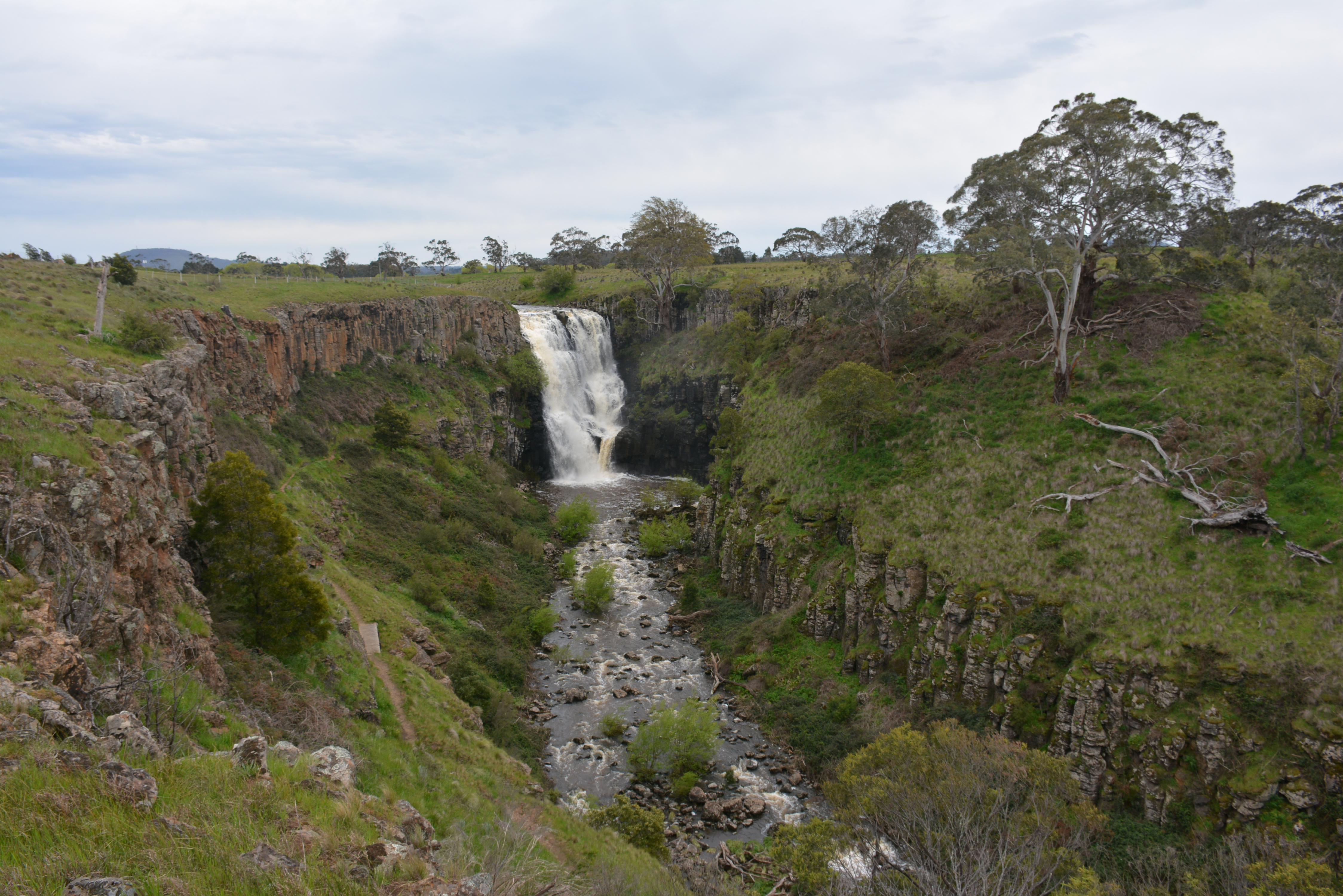
Catchment & Hydrological Impact
Fed primarily by the West Moorabool River, this reservoir plays a critical role in the South East Coast (Victoria) drainage division. Hydrological health in this specific drainage basin is vital for downstream ecosystems. The South East Coast (Victoria) region relies heavily on the seasonal inflows captured here.
Agricultural & Economic Significance
Beyond standard municipal supply, Lal Lal is a vital asset for the regional agricultural economy in Victoria. Farmers and agribusinesses monitor these levels closely to plan their seasonal crop yields. Sustainable water management here ensures that both crops and livestock can survive prolonged dry spells.
Ecological & Recreational Context
Ecologically, the reservoir and its immediate wetlands serve as a crucial habitat for native Australian wildlife. During periods of healthy water levels, the area often sees an increase in recreational activities such as fishing, boating, and camping. Authorities must constantly balance the need for human water consumption with the ecological necessity of maintaining healthy river systems downstream.
Current Weather & Evaporation Impact
Cooler current temperatures of 14°C help minimize evaporation losses across the reservoir. With 0mm of recent rainfall and partly cloudy skies, the catchment is relatively dry today.
Future Outlook & Monitoring
Looking ahead, the trajectory of Lal Lal's water levels will depend heavily on upcoming seasonal rainfall patterns. State water authorities utilize highly sophisticated monitoring tools to ensure every drop is accounted for. Given the unpredictable nature of Australia's climate, from La Niña flooding to El Niño droughts, maintaining a dynamic operational strategy for Lal Lal is absolutely essential.