Real-Time Dam Levels
Across Australia

Track water storage, capacity and historical trends for major reservoirs in New South Wales, Victoria, Queensland and beyond.

57.7% National average
303 Dams tracked
87,729 GL Total capacity
04 Jun 2026 Last Updated
Lake Rosebery Water Level

Lake Rosebery Water Level

Tasmania · Pieman
Reviewed by Water Resources Analyst
Hydrological Summary: Lake Rosebery currently stores 37.2% of its total 124 GL capacity. Located in TAS and operated by Hydro Tasmania, it is a critical water source for regional supply and irrigation.
Data officially sourced and updated from Tasmania water authorities. Last dataset update: 2026-06-01 00:00:00
Current Storage Level 37.2%
Total Capacity
124 GL
Status
Normal / Safe
Operator
Hydro Tasmania
Last Updated
01 Jun 2026
Live Weather
10°C Partly cloudy
Rain: 0mm | Hum: 99%

Water Level Analysis

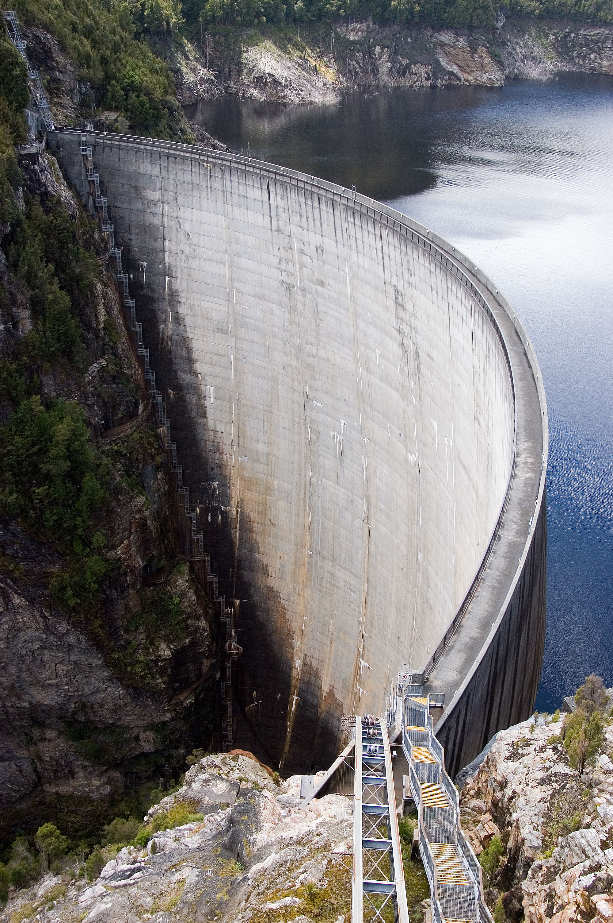
The current volume at Lake Rosebery is running lower than standard operational thresholds. With the reservoir sitting at just 37.2%, the total available volume is 124 GL. Drought conditions appear to be heavily impacting this specific catchment area.

Agricultural & Economic Significance

Beyond standard municipal supply, Lake Rosebery is a vital asset for the regional agricultural economy in Tasmania. Farmers and agribusinesses monitor these levels closely to plan their seasonal crop yields. Sustainable water management here ensures that both crops and livestock can survive prolonged dry spells.

Ecological & Recreational Context

The surrounding catchment of Lake Rosebery also supports diverse local flora and fauna. When capacity allows, Lake Rosebery becomes a hub for regional tourism and water sports. Authorities must constantly balance the need for human water consumption with the ecological necessity of maintaining healthy river systems downstream.

Current Weather & Evaporation Impact

With a mild reading of 10°C today, surface evaporation is significantly reduced, helping to preserve current volume. Currently experiencing partly cloudy conditions with no immediate precipitation, inflows remain entirely dependent on upstream river movement.

Future Outlook & Monitoring

Looking ahead, the trajectory of Lake Rosebery's water levels will depend heavily on upcoming seasonal rainfall patterns. Continuous telemetry and advanced hydrological modeling are employed to forecast storage changes. Given the unpredictable nature of Australia's climate, from La Niña flooding to El Niño droughts, maintaining a dynamic operational strategy for Lake Rosebery is absolutely essential.

Location Map

Frequently Asked Questions

What is the current water level of Lake Rosebery?
As of the latest official reading, the water level at Lake Rosebery is at 37.2% of its total capacity.
Is Lake Rosebery currently full?
No, it is currently experiencing low water levels at 37.2%.
What is the maximum water capacity of Lake Rosebery?
When completely full (100%), Lake Rosebery can hold up to 124 Gigalitres (GL) of water.
Where is Lake Rosebery located?
This reservoir is a critical water storage facility located in the state of Tasmania, Australia.
How does the water level at Lake Rosebery affect local agriculture?
Water levels dictate the irrigation allocations for surrounding farmlands. A healthy level of 37.2% ensures that local farmers have the necessary water security for their seasonal crops and livestock.
Who manages the data for Lake Rosebery?
The data is sourced from official government authorities including the Bureau of Meteorology (BOM) and specific state water utilities.

Nearby Dams in Tasmania

Largest Reservoirs in Tasmania

Latest Water & Drought News

← Back to all dams