Water Level Analysis
Water levels at Lake St Clair are alarmingly low. Sitting at a mere 1.1% of its 2,000 GL total capacity, extreme conservation measures may be required. Extended drought conditions or lack of significant inflows into the catchment are likely the primary drivers of this severe depletion.
Catchment & Hydrological Impact
The Derwent River acts as the primary lifeblood for Lake St Clair, making it a cornerstone of the Tasmania network. Managing the flow from the Derwent River ensures that downstream agricultural zones receive consistent supply. Catchment dynamics in the Tasmania are deeply influenced by the retention capacity of Lake St Clair.
Agricultural & Economic Significance
Agriculture in the surrounding areas of Tasmania depends heavily on the water security provided by Lake St Clair. The local economy, heavily rooted in agriculture, fluctuates in tandem with the health of this reservoir. Sustainable water management here ensures that both crops and livestock can survive prolonged dry spells.
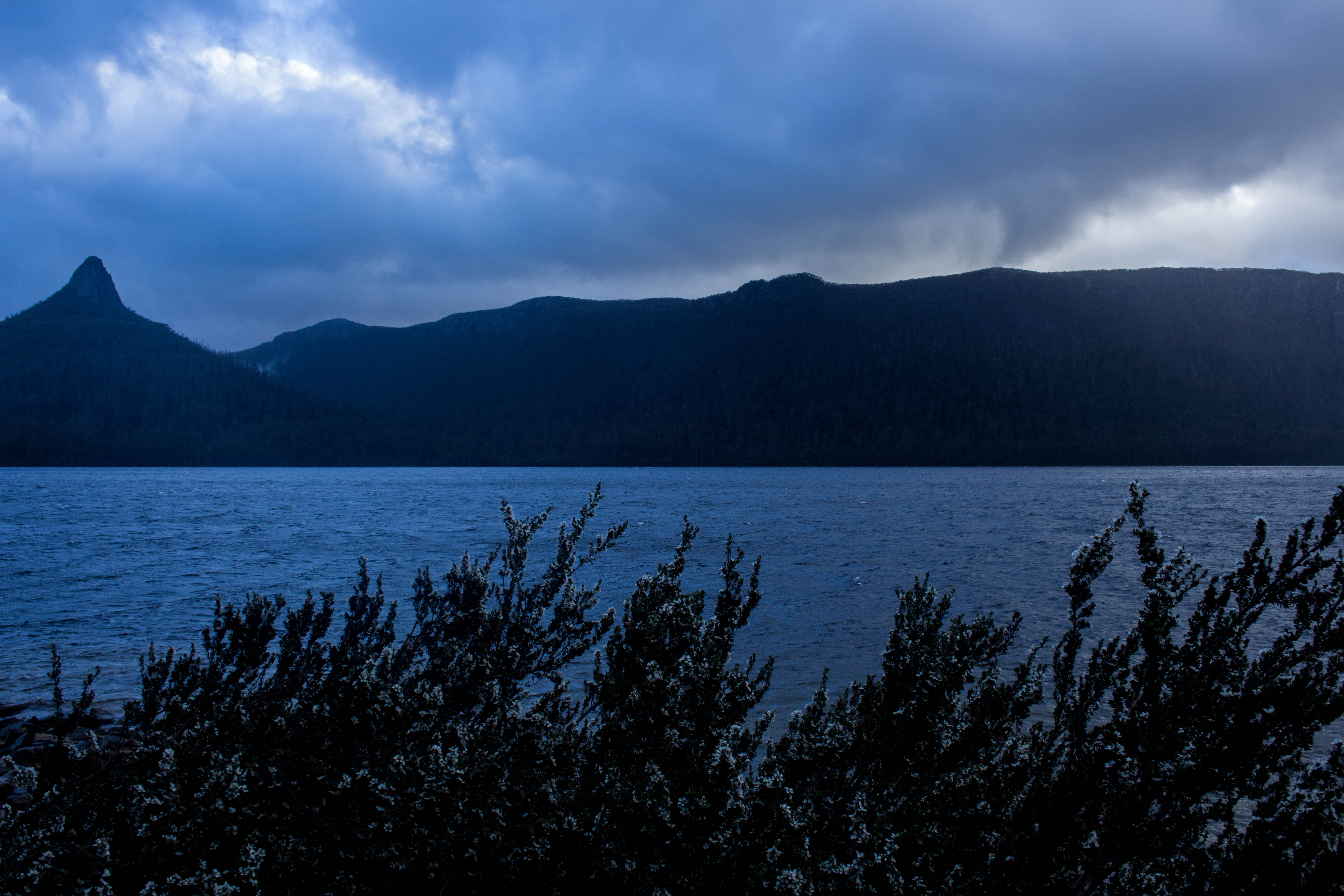
Ecological & Recreational Context
Ecologically, the reservoir and its immediate wetlands serve as a crucial habitat for native Australian wildlife. When capacity allows, Lake St Clair becomes a hub for regional tourism and water sports. However, environmental flow releases must be carefully balanced to protect downstream river health.
Current Weather & Evaporation Impact
With a mild reading of 12°C today, surface evaporation is significantly reduced, helping to preserve current volume. Currently experiencing partly cloudy conditions with no immediate precipitation, inflows remain entirely dependent on upstream river movement.
Future Outlook & Monitoring
Looking ahead, the trajectory of Lake St Clair's water levels will depend heavily on upcoming seasonal rainfall patterns. State water authorities utilize highly sophisticated monitoring tools to ensure every drop is accounted for. Given the unpredictable nature of Australia's climate, from La Niña flooding to El Niño droughts, maintaining a dynamic operational strategy for Lake St Clair is absolutely essential.