Real-Time Dam Levels
Across Australia

Track water storage, capacity and historical trends for major reservoirs in New South Wales, Victoria, Queensland and beyond.

57.7% National average
303 Dams tracked
87,729 GL Total capacity
04 Jun 2026 Last Updated
Lake Glenmaggie Water Level

Lake Glenmaggie Water Level

Victoria · Unknown
Reviewed by Water Resources Analyst
Hydrological Summary: Lake Glenmaggie currently stores 49.4% of its total 178 GL capacity. Located in VIC and operated by Southern Rural Water, it is a critical water source for regional supply and irrigation.
Data officially sourced and updated from Victoria water authorities. Last dataset update: 2026-05-28 12:00:00
Current Storage Level 49.4%
Total Capacity
178 GL
Status
Normal / Safe
Operator
Southern Rural Water
Last Updated
28 May 2026
Live Weather
9°C Raining
Rain: 0.1mm | Hum: 85%

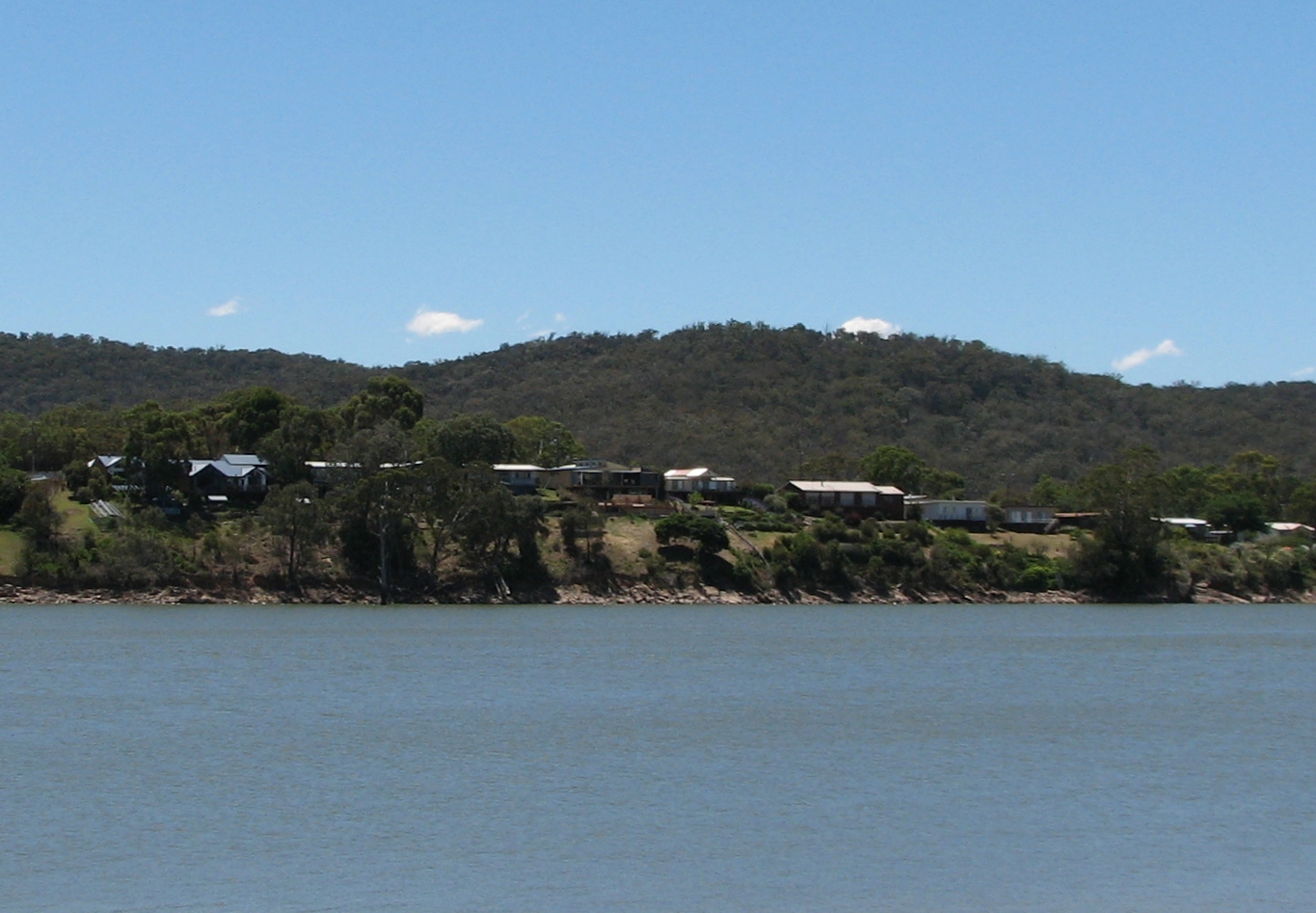
Water Level Analysis

Water capacity at Lake Glenmaggie is holding at moderate levels. The current reading shows the reservoir at 49.4%, translating to 178 GL. This represents a typical midpoint for the region's hydrological cycle.

Catchment & Hydrological Impact

The Macalister River acts as the primary lifeblood for Lake Glenmaggie, making it a cornerstone of the South East Coast (Victoria) network. Hydrological health in this specific drainage basin is vital for downstream ecosystems. The South East Coast (Victoria) region relies heavily on the seasonal inflows captured here.

Agricultural & Economic Significance

Agriculture in the surrounding areas of Victoria depends heavily on the water security provided by Lake Glenmaggie. Farmers and agribusinesses monitor these levels closely to plan their seasonal crop yields. Sustainable water management here ensures that both crops and livestock can survive prolonged dry spells.

Ecological & Recreational Context

The surrounding catchment of Lake Glenmaggie also supports diverse local flora and fauna. During periods of healthy water levels, the area often sees an increase in recreational activities such as fishing, boating, and camping. Authorities must constantly balance the need for human water consumption with the ecological necessity of maintaining healthy river systems downstream.

Current Weather & Evaporation Impact

Cooler current temperatures of 9°C help minimize evaporation losses across the reservoir. With raining conditions and 0.1mm of rain, the surrounding drainage basin is currently being naturally irrigated.

Future Outlook & Monitoring

The Bureau of Meteorology's climate outlooks will play a pivotal role in predicting the future inflows for this catchment. State water authorities utilize highly sophisticated monitoring tools to ensure every drop is accounted for. Given the unpredictable nature of Australia's climate, from La Niña flooding to El Niño droughts, maintaining a dynamic operational strategy for Lake Glenmaggie is absolutely essential.

Location Map

Frequently Asked Questions

What is the current water level of Lake Glenmaggie?
As of the latest official reading, the water level at Lake Glenmaggie is at 49.4% of its total capacity.
Is Lake Glenmaggie currently full?
No, it is currently experiencing low water levels at 49.4%.
What is the maximum water capacity of Lake Glenmaggie?
When completely full (100%), Lake Glenmaggie can hold up to 178 Gigalitres (GL) of water.
Where is Lake Glenmaggie located?
This reservoir is a critical water storage facility located in the state of Victoria, Australia.
How does the water level at Lake Glenmaggie affect local agriculture?
Water levels dictate the irrigation allocations for surrounding farmlands. A healthy level of 49.4% ensures that local farmers have the necessary water security for their seasonal crops and livestock.
Who manages the data for Lake Glenmaggie?
The data is sourced from official government authorities including the Bureau of Meteorology (BOM) and specific state water utilities.

Nearby Dams in Victoria

Largest Reservoirs in Victoria

Latest Water & Drought News

← Back to all dams