Water Level Analysis
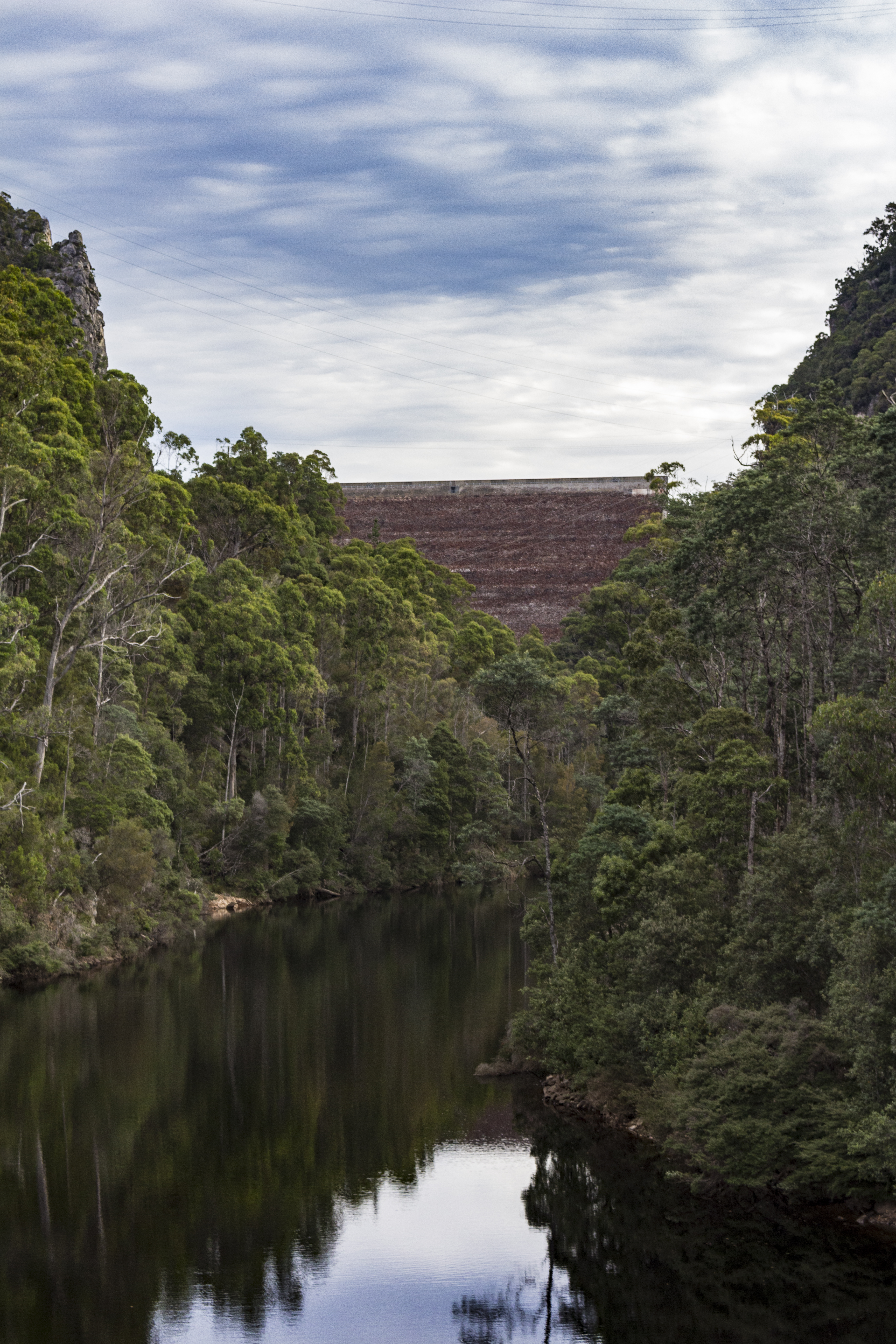
Lake Cethana is currently facing severe depletion. Currently at only 15.7% of its 112 GL capacity, the situation requires urgent monitoring. This critical shortage heavily impacts regional water security across Tasmania.
Catchment & Hydrological Impact
The Forth River acts as the primary lifeblood for Lake Cethana, making it a cornerstone of the Tasmania network. Hydrological health in this specific drainage basin is vital for downstream ecosystems. The Tasmania region relies heavily on the seasonal inflows captured here.
Agricultural & Economic Significance
Agriculture in the surrounding areas of Tasmania depends heavily on the water security provided by Lake Cethana. The local economy, heavily rooted in agriculture, fluctuates in tandem with the health of this reservoir. Sustainable water management here ensures that both crops and livestock can survive prolonged dry spells.
Ecological & Recreational Context
Ecologically, the reservoir and its immediate wetlands serve as a crucial habitat for native Australian wildlife. During periods of healthy water levels, the area often sees an increase in recreational activities such as fishing, boating, and camping. However, environmental flow releases must be carefully balanced to protect downstream river health.
Current Weather & Evaporation Impact
Cooler current temperatures of 12°C help minimize evaporation losses across the reservoir. With 0mm of recent rainfall and partly cloudy skies, the catchment is relatively dry today.
Future Outlook & Monitoring
The Bureau of Meteorology's climate outlooks will play a pivotal role in predicting the future inflows for this catchment. Continuous telemetry and advanced hydrological modeling are employed to forecast storage changes. Given the unpredictable nature of Australia's climate, from La Niña flooding to El Niño droughts, maintaining a dynamic operational strategy for Lake Cethana is absolutely essential.