Real-Time Dam Levels
Across Australia

Track water storage, capacity and historical trends for major reservoirs in New South Wales, Victoria, Queensland and beyond.

57.7% National average
303 Dams tracked
87,729 GL Total capacity
04 Jun 2026 Last Updated
Lake Augusta Water Level

Lake Augusta Water Level

Tasmania · South Esk Great Lake
Reviewed by Water Resources Analyst
Hydrological Summary: Lake Augusta currently stores 6.8% of its total 24 GL capacity. Located in TAS and operated by Hydro Tasmania, it is a critical water source for regional supply and irrigation.
Data officially sourced and updated from Tasmania water authorities. Last dataset update: 2026-06-02 00:00:00
Current Storage Level 6.8%
Total Capacity
24 GL
Status
Normal / Safe
Operator
Hydro Tasmania
Last Updated
02 Jun 2026
Live Weather
4°C Raining
Rain: 0.4mm | Hum: 100%

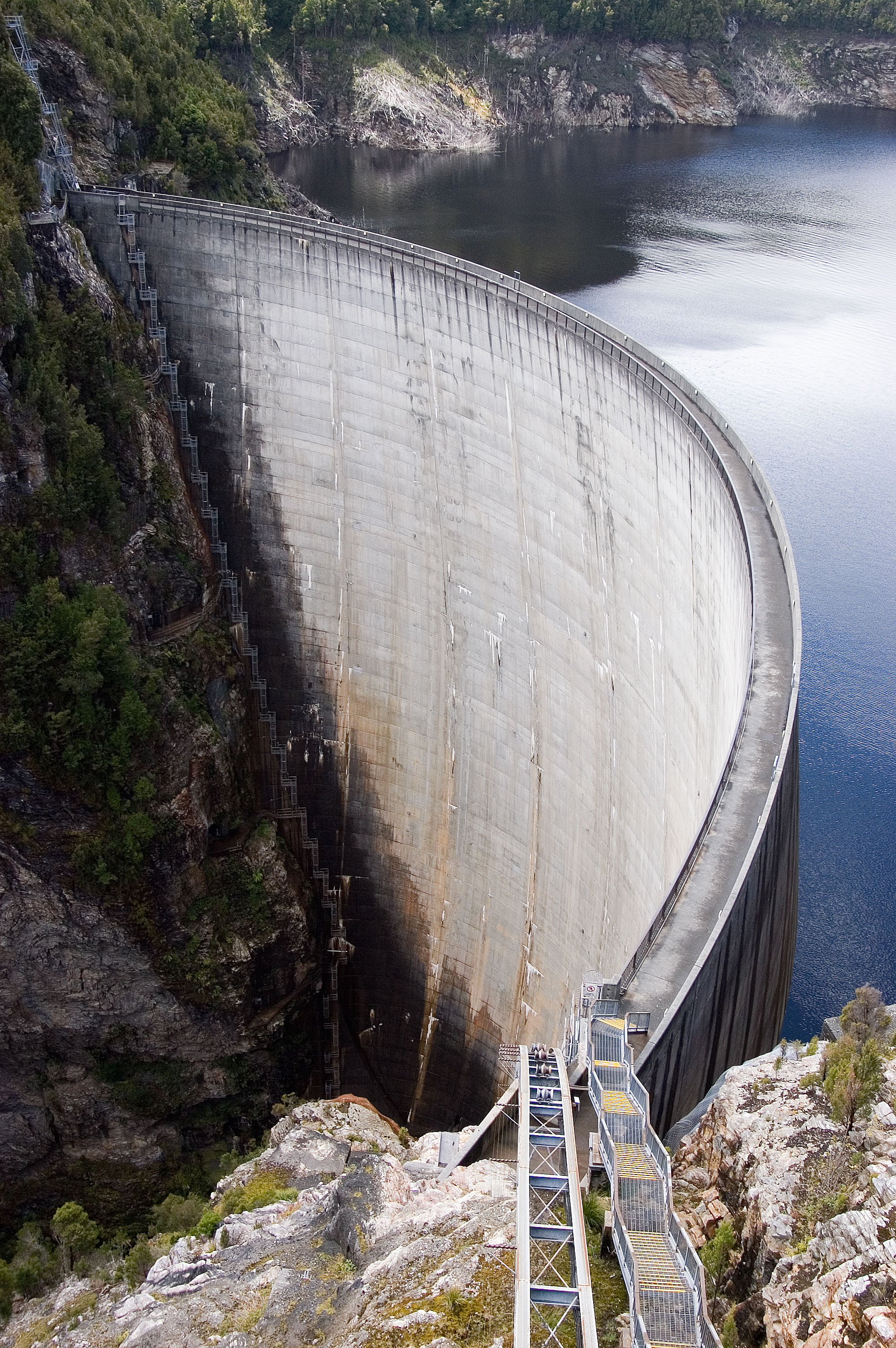
Water Level Analysis

Lake Augusta is currently facing severe depletion. Currently at only 6.8% of its 24 GL capacity, the situation requires urgent monitoring. Extended drought conditions or lack of significant inflows into the catchment are likely the primary drivers of this severe depletion.

Catchment & Hydrological Impact

The Ouse River acts as the primary lifeblood for Lake Augusta, making it a cornerstone of the Tasmania network. Managing the flow from the Ouse River ensures that downstream agricultural zones receive consistent supply. The Tasmania region relies heavily on the seasonal inflows captured here.

Agricultural & Economic Significance

Beyond standard municipal supply, Lake Augusta is a vital asset for the regional agricultural economy in Tasmania. The local economy, heavily rooted in agriculture, fluctuates in tandem with the health of this reservoir. Sustainable water management here ensures that both crops and livestock can survive prolonged dry spells.

Ecological & Recreational Context

Ecologically, the reservoir and its immediate wetlands serve as a crucial habitat for native Australian wildlife. When capacity allows, Lake Augusta becomes a hub for regional tourism and water sports. However, environmental flow releases must be carefully balanced to protect downstream river health.

Current Weather & Evaporation Impact

Cooler current temperatures of 4°C help minimize evaporation losses across the reservoir. The recorded precipitation of 0.4mm indicates active rainfall in the catchment, which is excellent news for inflows.

Future Outlook & Monitoring

The Bureau of Meteorology's climate outlooks will play a pivotal role in predicting the future inflows for this catchment. Continuous telemetry and advanced hydrological modeling are employed to forecast storage changes. Resilience against extreme weather events remains the ultimate goal for the managers of this critical infrastructure.

Location Map

Frequently Asked Questions

What is the current water level of Lake Augusta?
As of the latest official reading, the water level at Lake Augusta is at 6.8% of its total capacity.
Is Lake Augusta currently full?
No, it is currently experiencing low water levels at 6.8%.
What is the maximum water capacity of Lake Augusta?
When completely full (100%), Lake Augusta can hold up to 24 Gigalitres (GL) of water.
Where is Lake Augusta located?
This reservoir is a critical water storage facility located in the state of Tasmania, Australia.
How does the water level at Lake Augusta affect local agriculture?
Water levels dictate the irrigation allocations for surrounding farmlands. A healthy level of 6.8% ensures that local farmers have the necessary water security for their seasonal crops and livestock.
Who manages the data for Lake Augusta?
The data is sourced from official government authorities including the Bureau of Meteorology (BOM) and specific state water utilities.

Nearby Dams in Tasmania

Largest Reservoirs in Tasmania

Latest Water & Drought News

← Back to all dams