Real-Time Dam Levels
Across Australia

Track water storage, capacity and historical trends for major reservoirs in New South Wales, Victoria, Queensland and beyond.

57.7% National average
303 Dams tracked
87,729 GL Total capacity
04 Jun 2026 Last Updated
Glen Mervyn Water Level

Glen Mervyn Water Level

Western Australia · Unknown
Reviewed by Water Resources Analyst
Hydrological Summary: Glen Mervyn currently stores 33.3% of its total 2 GL capacity. Located in WA and operated by Water Corporation, it is a critical water source for regional supply and irrigation.
Data officially sourced and updated from Western Australia water authorities. Last dataset update: 2026-05-25 14:00:00
Current Storage Level 33.3%
Total Capacity
2 GL
Status
Normal / Safe
Operator
Water Corporation
Last Updated
25 May 2026
Live Weather
6°C Partly cloudy
Rain: 0mm | Hum: 95%

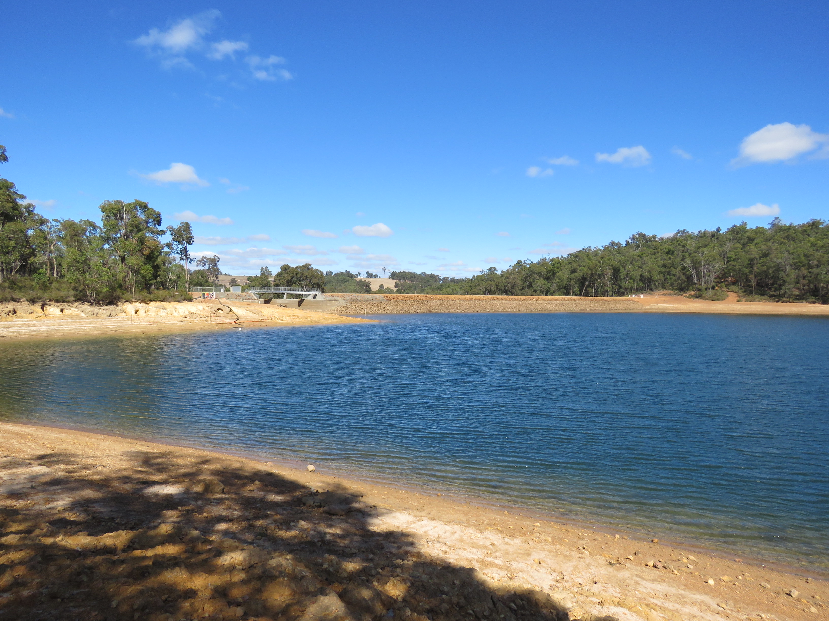
Water Level Analysis

Glen Mervyn is experiencing significant storage depletion. At 33.3%, the facility only holds 2 GL. Drought conditions appear to be heavily impacting this specific catchment area.

Catchment & Hydrological Impact

Fed primarily by the McCallum Creek, this reservoir plays a critical role in the South West Coast drainage division. Managing the flow from the McCallum Creek ensures that downstream agricultural zones receive consistent supply. Catchment dynamics in the South West Coast are deeply influenced by the retention capacity of Glen Mervyn.

Agricultural & Economic Significance

Agriculture in the surrounding areas of Western Australia depends heavily on the water security provided by Glen Mervyn. Irrigation allocations are directly tied to these storage metrics. Sustainable water management here ensures that both crops and livestock can survive prolonged dry spells.

Ecological & Recreational Context

The surrounding catchment of Glen Mervyn also supports diverse local flora and fauna. When capacity allows, Glen Mervyn becomes a hub for regional tourism and water sports. However, environmental flow releases must be carefully balanced to protect downstream river health.

Current Weather & Evaporation Impact

With a mild reading of 6°C today, surface evaporation is significantly reduced, helping to preserve current volume. Currently experiencing partly cloudy conditions with no immediate precipitation, inflows remain entirely dependent on upstream river movement.

Future Outlook & Monitoring

The Bureau of Meteorology's climate outlooks will play a pivotal role in predicting the future inflows for this catchment. Continuous telemetry and advanced hydrological modeling are employed to forecast storage changes. Given the unpredictable nature of Australia's climate, from La Niña flooding to El Niño droughts, maintaining a dynamic operational strategy for Glen Mervyn is absolutely essential.

Location Map

Frequently Asked Questions

What is the current water level of Glen Mervyn?
As of the latest official reading, the water level at Glen Mervyn is at 33.3% of its total capacity.
Is Glen Mervyn currently full?
No, it is currently experiencing low water levels at 33.3%.
What is the maximum water capacity of Glen Mervyn?
When completely full (100%), Glen Mervyn can hold up to 2 Gigalitres (GL) of water.
Where is Glen Mervyn located?
This reservoir is a critical water storage facility located in the state of Western Australia, Australia.
How does the water level at Glen Mervyn affect local agriculture?
Water levels dictate the irrigation allocations for surrounding farmlands. A healthy level of 33.3% ensures that local farmers have the necessary water security for their seasonal crops and livestock.
Who manages the data for Glen Mervyn?
The data is sourced from official government authorities including the Bureau of Meteorology (BOM) and specific state water utilities.

Nearby Dams in Western Australia

Largest Reservoirs in Western Australia

Latest Water & Drought News

← Back to all dams