Water Level Analysis
Storage levels at Devilbend are within moderate seasonal bounds. The current reading shows the reservoir at 51.6%, translating to 15 GL. This represents a typical midpoint for the region's hydrological cycle.
Catchment & Hydrological Impact
The Off-stream acts as the primary lifeblood for Devilbend, making it a cornerstone of the South East Coast (Victoria) network. Hydrological health in this specific drainage basin is vital for downstream ecosystems. The South East Coast (Victoria) region relies heavily on the seasonal inflows captured here.
Agricultural & Economic Significance
Beyond standard municipal supply, Devilbend is a vital asset for the regional agricultural economy in Victoria. The local economy, heavily rooted in agriculture, fluctuates in tandem with the health of this reservoir. Sustainable water management here ensures that both crops and livestock can survive prolonged dry spells.
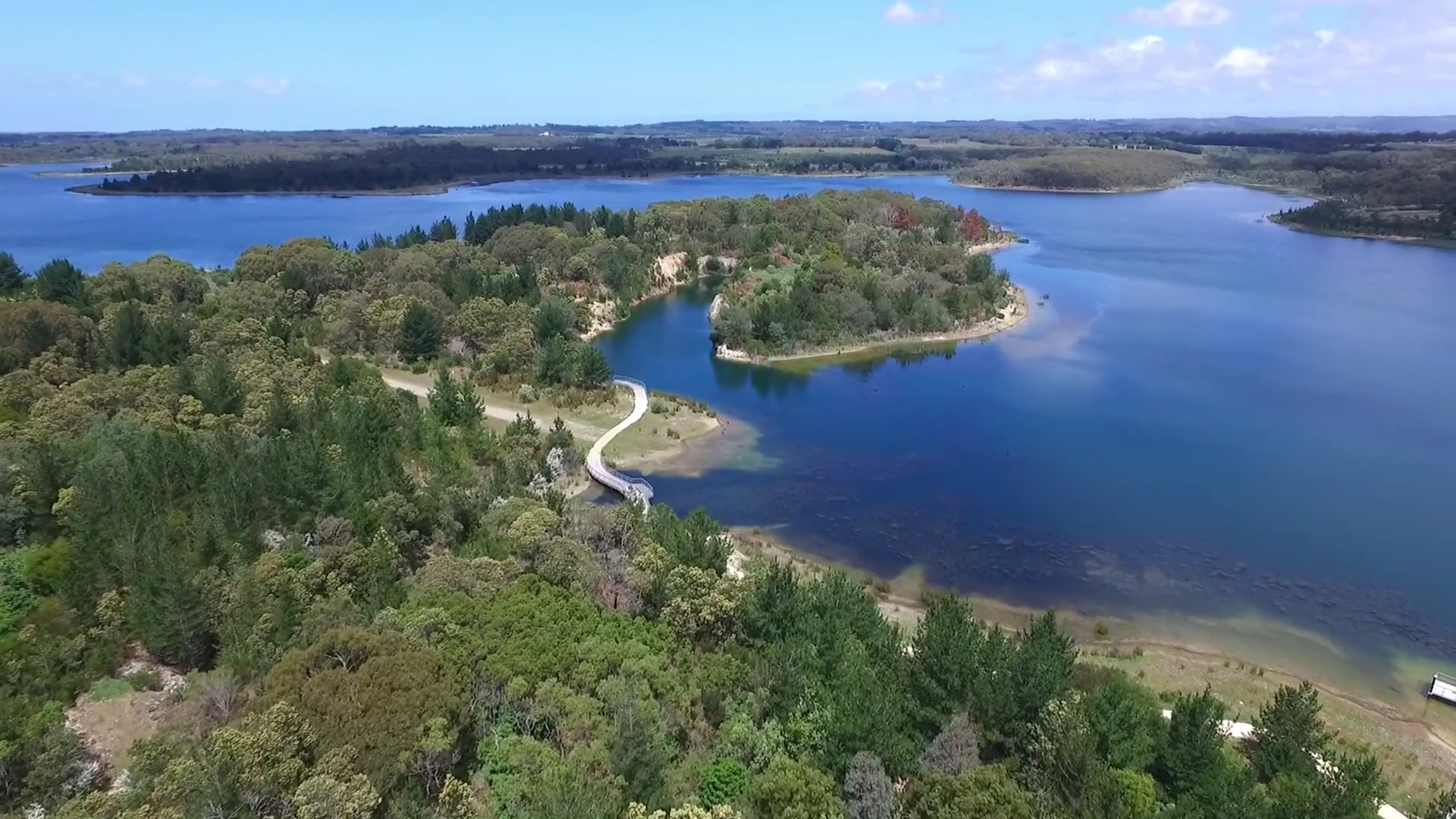
Ecological & Recreational Context
Ecologically, the reservoir and its immediate wetlands serve as a crucial habitat for native Australian wildlife. During periods of healthy water levels, the area often sees an increase in recreational activities such as fishing, boating, and camping. Authorities must constantly balance the need for human water consumption with the ecological necessity of maintaining healthy river systems downstream.
Current Weather & Evaporation Impact
With a mild reading of 13°C today, surface evaporation is significantly reduced, helping to preserve current volume. Under current partly cloudy weather, there is no direct rainfall contributing to the immediate storage levels.
Future Outlook & Monitoring
Looking ahead, the trajectory of Devilbend's water levels will depend heavily on upcoming seasonal rainfall patterns. Continuous telemetry and advanced hydrological modeling are employed to forecast storage changes. Resilience against extreme weather events remains the ultimate goal for the managers of this critical infrastructure.