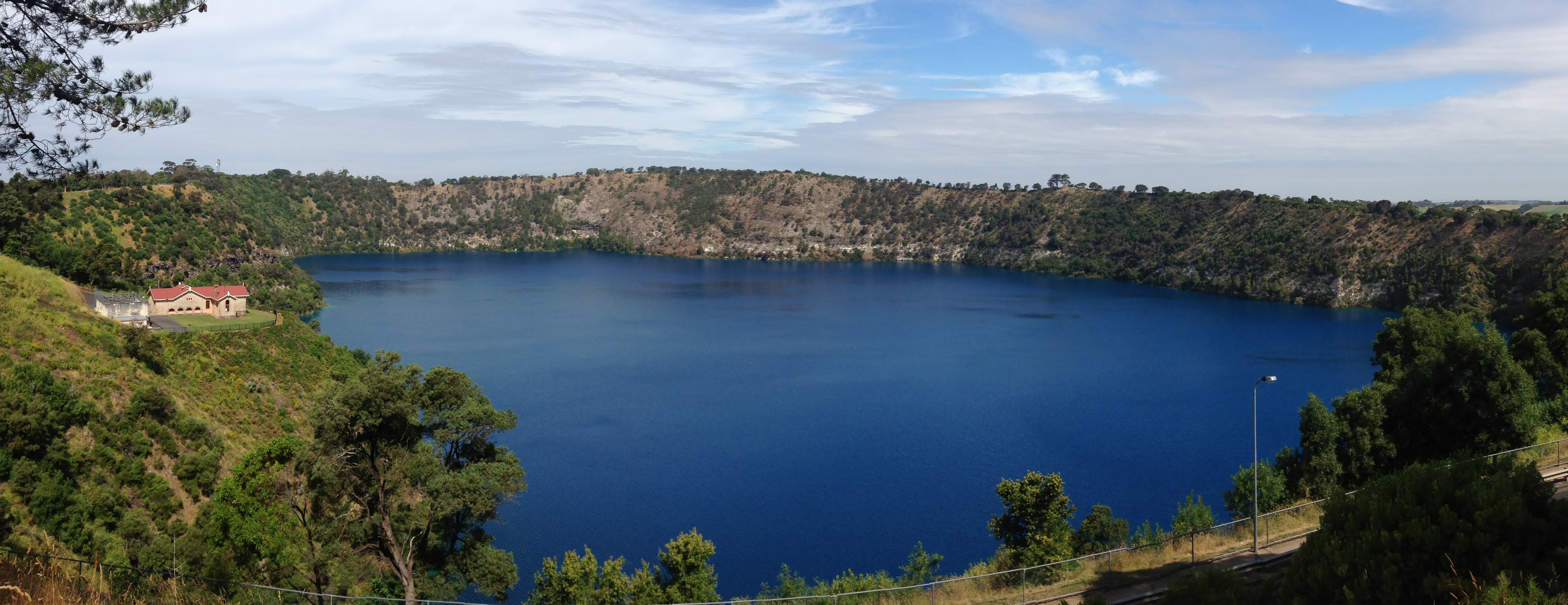
Water Level Analysis
Water levels at Blue Rock Lake are well within positive historical averages. At 82% capacity, the facility is holding 198 GL of water. The local water grid benefits significantly from this stable storage level.
Catchment & Hydrological Impact
The Tanjil River acts as the primary lifeblood for Blue Rock Lake, making it a cornerstone of the South East Coast (Victoria) network. Managing the flow from the Tanjil River ensures that downstream agricultural zones receive consistent supply. The South East Coast (Victoria) region relies heavily on the seasonal inflows captured here.
Agricultural & Economic Significance
Agriculture in the surrounding areas of Victoria depends heavily on the water security provided by Blue Rock Lake. The local economy, heavily rooted in agriculture, fluctuates in tandem with the health of this reservoir. Without the buffer provided by this massive 198 GL storage, regional farming would face extreme volatility.
Ecological & Recreational Context
Ecologically, the reservoir and its immediate wetlands serve as a crucial habitat for native Australian wildlife. When capacity allows, Blue Rock Lake becomes a hub for regional tourism and water sports. Authorities must constantly balance the need for human water consumption with the ecological necessity of maintaining healthy river systems downstream.
Current Weather & Evaporation Impact
Cooler current temperatures of 13°C help minimize evaporation losses across the reservoir. Currently experiencing partly cloudy conditions with no immediate precipitation, inflows remain entirely dependent on upstream river movement.
Future Outlook & Monitoring
Looking ahead, the trajectory of Blue Rock Lake's water levels will depend heavily on upcoming seasonal rainfall patterns. Continuous telemetry and advanced hydrological modeling are employed to forecast storage changes. Resilience against extreme weather events remains the ultimate goal for the managers of this critical infrastructure.